Autumn snow is expected to make its first appearance in Scotland this weekend, marking a swift change in seasonal conditions across parts of the UK. Forecast data indicates colder air arriving from the north, with weather models highlighting where and when flurries may occur.
According to Daily Record, charts and meteorological updates suggest that the first signs of wintry precipitation are due in central areas, while southern regions may experience very different patterns. The timing, locations, and temperatures are now being closely monitored, as the transition from late summer warmth to early autumn chill continues to unfold.
From Summer Heat to Autumn Snow
Meteorological autumn officially began on September 1, and almost immediately Scotland has seen the shift from warm sunshine to unsettled skies. Weather charts now reveal the precise moment when the first autumn snow will arrive north of the border.
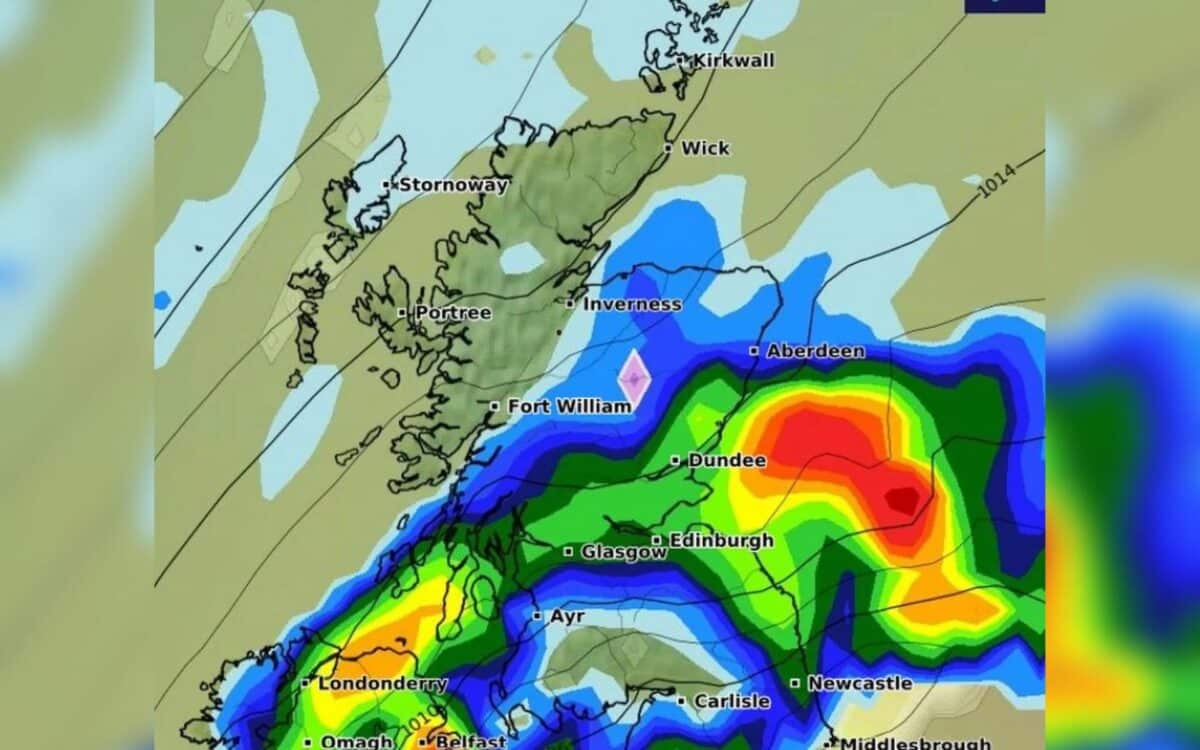
According to WX Charts, using Met Desk data, flurries of snow are expected “at approximately midnight on Sunday, September 21.”
Forecasters suggest that temperatures could plummet to 0C, with the corridor stretching “from Inverness to Struan in Scotland facing potential snowfall.” Radar imagery even highlights purple patches north of the border, showing where snow showers may briefly set in.
This marks quite a turnaround for Scots who only weeks ago basked in record-breaking summer highs. As reports noted,
Scots saw surprisingly warm temperatures this year, with several areas surpassing the 32C benchmark more than once.
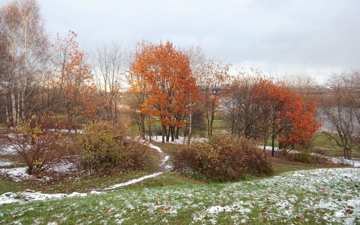
Those sweltering days now seem like a distant memory, quickly replaced by frosty mornings and darker evenings.
A Complex Weather System at Play
Jo Farrow from Netweather TV painted a more detailed picture of the week’s forecast, stressing that conditions remain unsettled. She explained:
After the windy Monday morning for England and Wales, Tuesday wasn’t as windy. East Anglia was still blustery, as was Kent but there was a lull. The showers won’t have given up entirely over the northern half of the UK and it will stay blustery for north-eastern Scotland.
Farrow added that the Atlantic remains active:
It won’t be long until the next Atlantic low arrives, bringing more wind and rain. The frontal bands will arrive from the west during Tuesday night but the whole system will still be around on Wednesday morning. The zonal jetstream will have developed the low on its journey across the ocean and it will be centred to the NW of the UK in the middle of the week.
Around this will be strong winds and gales, mostly for Northern Ireland, around the Irish Sea and for western Scotland. This could affect some ferry services. Autumn has arrived.
These remarks underline how the developing jet stream and low pressure are working together to bring both wind and chill. The weather is far from settled, and while snow is confined to central Scotland, strong gusts and rain threaten wider parts of the UK.
The North–South Divide
Not everyone in Britain will feel the same early taste of winter. James Madden from Exacta Weather stressed that southern areas may actually enjoy a burst of warmth. He said:
Temperatures could range from the mid to high 20s at the very least in the warmest parts of the country by this stage of the week and particularly across the southern half of the country and some parts past the Midlands and central England regions during the Wednesday to Friday and/or around Saturday period of this week.
However, Madden cautioned:
Low pressure will begin to potentially threaten our shores once again during the latter part of the week and within the main third-party computer model future runs in the coming days.
In contrast,
Some parts much further north and in the far north of Scotland could still cling on to something cooler or unsettled on certain days.
This perfectly illustrates the UK’s climate split—balmy sunshine in the south, unsettled skies in the north, and central Scotland preparing for the symbolic first snow of the season.