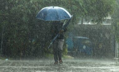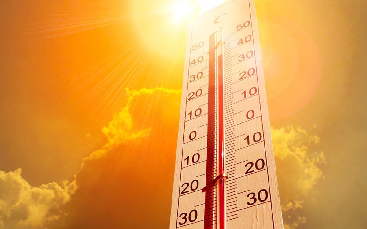
The UK is set to experience its fourth heatwave of the summer, as temperatures are expected to rise significantly starting August 13. The Met Office has issued forecasts indicating a surge in heat, particularly in southern England, where temperatures could reach as high as 35°C. This weather event follows a period of rain and thunderstorms, marking a sharp contrast in conditions.
According to Mirror, the anticipated heatwave will impact a large part of the country, though the Met Office has yet to confirm whether the expected temperatures will meet the official heatwave criteria.
Heatwave to Hit From August 13
Temperatures will begin to climb from August 13, with Kent expected to feel the heat first, reaching around 30°C by 6 PM. Other parts of the southeast, including London, Suffolk, and Norfolk, will see highs of 29°C.
Meanwhile, the West of the country, including Gloucestershire, Somerset, and Devon, will experience temperatures ranging from 26°C to 28°C. The Midlands will also experience similar temperatures of 26°C to 27°C.
Despite these elevated temperatures, areas in the north of England, Scotland, and Northern Ireland will remain slightly cooler, with forecasts indicating up to 22°C in the north of England.
The Heat Intensifies on August 14
As we move into August 14, temperatures will gradually climb across the nation. The southeast will see the most significant surge, with London and surrounding counties like Surrey and Sussex reaching 33°C by 6 PM.
The Midlands and Cardiff will also feel the heat, with highs of 30°C. Meanwhile, the northwest and Scotland will stay a bit cooler, with temperatures in some areas peaking at 24°C.
Met Office forecasters mention,
High pressure, and therefore fairly settled conditions overall, appears most likely for the second half of August, though the northwest may see more in the way of occasional rain or showers than other areas.
Record-Breaking Heat Predicted for August 15
By August 15, the heatwave will reach its peak, with temperatures expected to hit 36°C in parts of the southeast. Areas such as London, Surrey, and Gloucestershire will endure some of the hottest conditions, with similar readings expected in Kent, Wiltshire, and Hampshire. The Midlands will experience 33°C to 34°C, while Cardiff could see 34°C.
In the southwest, Cornwall will also experience sweltering conditions with highs of 32°C. Other regions, including Manchester and Birmingham, will experience highs of around 30°C. Met Office forecasts also indicate that temperatures in the north will be more moderate, with Scotland reaching a maximum of 27°C and Northern Ireland peaking at 24°C.
What to Expect Beyond the Heat
According to the Met Office, this upcoming heatwave could potentially extend for at least three days, with predominantly dry weather expected to continue. However, short bursts of showers and thunderstorms cannot be ruled out, particularly in the northwest.
As stated by the Met Office,
Above average temperatures overall seem most likely, with the potential for hot spells to develop, especially in the east and south, these more probable further into August.