The UK is expected to face a widespread snowfall event around 1 January, with northern and eastern regions likely to receive the heaviest accumulations. According to updated weather models, some areas may be blanketed by as much as 14 centimetres, with much of England experiencing sub-zero conditions.
Forecast data from WX Charts and Met Desk highlights a sharp drop in temperature across the country starting from New Year’s Day, with the north-east of England and parts of East Anglia projected to be the most affected. The only areas that appear likely to escape significant snowfall are Devon, Cornwall, and parts of south-west Wales.
Temperatures Expected to Plunge Below Freezing Across England
According to WX Charts, a weather mapping service that uses Met Desk data, snow will begin falling over northern England from midday on 1 January, intensifying into the evening. By 6pm, parts of the north-east could see snow depths of up to 14cm, particularly in Northumberland, Tyne and Wear, County Durham and across Yorkshire. Elsewhere, a general blanket of 2cm to 6cm is expected across much of central and eastern England.
Forecasts show that temperatures will dip significantly, with -5°C recorded in the coldest areas, mainly across northern counties. Birmingham and the West Midlands are expected to reach lows of -2°C, while southern England, including the Home Counties and Greater London, could also see freezing overnight conditions.
A brief from the BBC Weather Centre confirms a colder spell to follow the relatively mild start to December. Sarah Keith-Lucas, lead meteorologist, noted that “Christmas Day itself is looking drier and colder compared to the first half of December,” adding that high pressure from the north-east is expected to bring settled, colder conditions in the days leading into the new year.
East Anglia and the Midlands Likely to Be Among Hardest Hit
In addition to the north-east, East Anglia is forecast to receive significant snow coverage, with maps showing flurries extending across Norfolk, Suffolk, and parts of Lincolnshire. These areas are likely to experience the sharpest combination of snowfall and sub-zero temperatures, especially during the early hours of 1 January.
The Midlands will also be impacted. Snow maps show flurries reaching as far south as Birmingham, while areas such as Stoke-on-Trent may see temporary warming around midday. Despite this, widespread snow coverage is still projected for most of the region by late afternoon, according to WX Charts.
The only regions largely escaping the snow appear to be Devon, Cornwall, and the south-west coast of Wales, where temperatures are forecast to hover just above freezing. Northern Ireland may also avoid the heaviest snow, although it remains under cloud cover and light rain through late December.
In the run-up to the event, the BBC forecast for Monday, 22 December indicated an unsettled picture, with rain in Scotland and Northern Ireland, clearing through the day. England remained largely dry, with cloud cover increasing overnight and breezy conditions expected along the southern and eastern coasts.
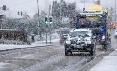
While not unusual for early January, this expected snow coverage would mark the most significant nationwide cold snap of the winter so far, potentially disrupting travel and causing delays across major road and rail networks.


