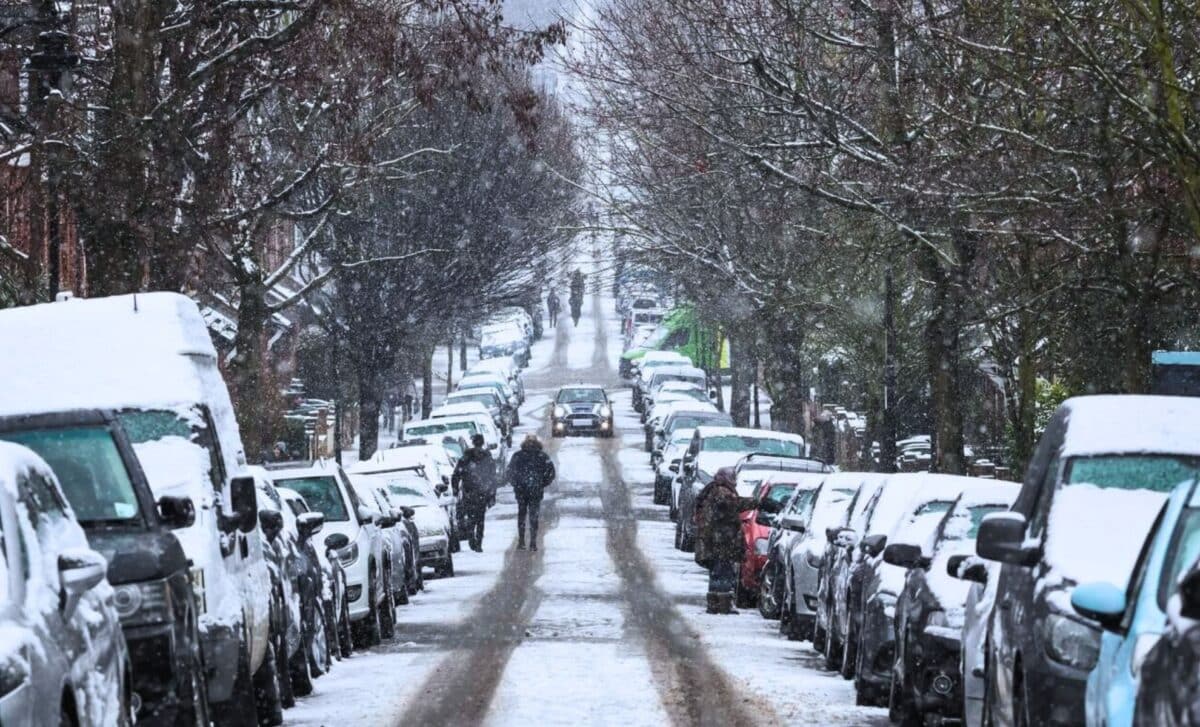
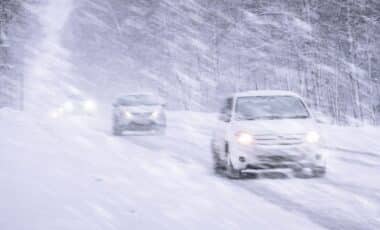
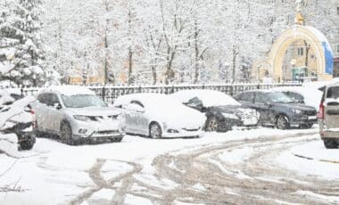
The UK is preparing for a significant weather event, with a seven-day snowstorm expected to begin around December 16, 2024. The snowstorm will primarily affect northern areas, including much of Scotland and parts of northern England.
Major cities such as London, Manchester, and Birmingham are more likely to experience rain rather than snow, though higher altitudes in these regions may see some snowfall. As the festive season approaches, the chance of a white Christmas is increasing, but meteorologists warn that predictions remain subject to change.
Detailed Snowfall Forecast for December 16–21
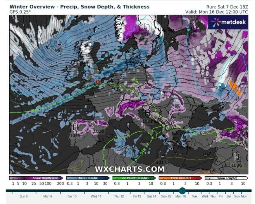
According to the latest forecasts, wxcharts.com predicts the snow will begin in Scotland and spread southward through northern England. Snowfall is expected to intensify over the higher grounds of northern Scotland, while the southern parts of the UK are likely to experience rain.
Areas Expecting Snow:
- Scotland: Most regions, especially the higher ground, are expected to see significant snow accumulation, particularly from December 16 onwards.
- Northern England: Snow is expected in higher elevations and mountainous areas. While cities like Manchester and Birmingham are unlikely to see snow at lower altitudes, snow could occur on higher ground.
- Southern England: Major cities, including London, will more likely experience rain rather than snow, particularly during the early phase of the storm. However, the south may see snow or snow showers by December 21.
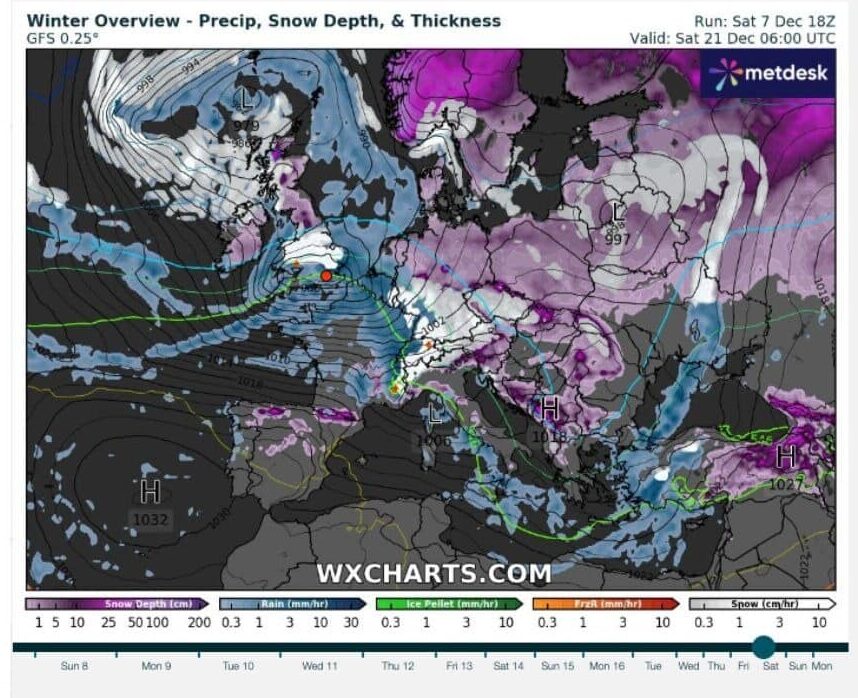
By December 21, the snowstorm is expected to have reached southern regions, with snowfall predicted to affect large areas of the UK, including parts of Birmingham and Manchester. The snowstorm is likely to peak on this day, with more severe snow in northern Scotland and lighter accumulations across the rest of the country.
Expert Insights on the White Christmas Possibility
Despite the forecasted snowstorm, Jim Dale, founder of British Weather Services, remains cautious about the exact timing and locations of snow during the holiday period. In a statement to the Express, he noted:
“If anywhere’s going to see any snow pre-Christmas, in those few days before, it’s probably going to be Scotland and more likely to be the higher ground of Scotland than it is anywhere else.”
Dale emphasized the uncertainty of weather predictions this far in advance, adding: “We just have to be a little bit patient and see how the models handle this… but at the moment the favourite areas are tending to be Scandinavia through central, Eastern Europe, even as far south as Greece sometimes.”
A Closer Look at the Forecast for December 21
As the storm continues, December 21 will see snow affecting large swaths of the UK. While some areas further south are likely to see rain, snowfall across large regions of the country is expected. This includes potential snow accumulation by 6 a.m. in many areas outside the south. Key cities such as Birmingham, Manchester, and Leeds might experience some snow accumulation by this date.
| Date | Expected Weather | Key Areas Affected | Likely Snowfall |
|---|---|---|---|
| December 16 | Snow begins in the north | Scotland, Northern England | Heavy snow on higher ground |
| December 21 | Widespread snow across the UK | Birmingham, Manchester, Northern Scotland | Snowfall likely across large areas, heavier in the north |
| December 23 | Snow persists in the north, rain in the south | Scotland, Northern England, Southern UK | Light snow accumulation in some southern cities |
Storm Darragh’s Disruptions
The anticipated snowstorm follows the impact of Storm Darragh, which caused major disruptions across the UK just days before the snow event. The storm brought heavy winds of up to 100 mph (160.93 km/h), resulting in the falling of trees, widespread power outages, and significant travel delays. Areas most affected included Wales, the Midlands, and southwestern England. Some areas are still recovering from these conditions, with residual disruption in power and transportation expected to last through the week.
Jim Dale also warned about the continuing unpredictability of weather patterns and the potential for further disruptions: “It’s a long way to go, and things can still change… we need to keep monitoring the weather models as we approach the peak of the winter period.”

