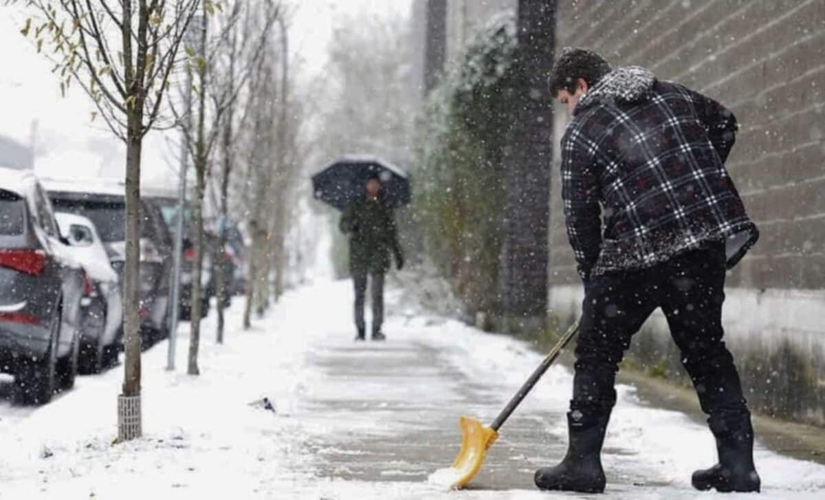
The Met Office has issued a yellow weather warning for snow and ice across parts of northern England and southern Scotland, predicting significant snow accumulation and hazardous travel conditions starting Monday evening. This cold spell is attributed to Arctic air sweeping south, bringing sub-zero temperatures and the potential for wintry conditions across much of the country.
Snow to Cover Northern Regions
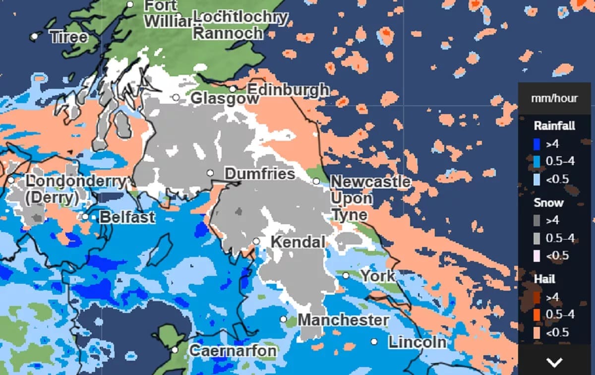
From Monday evening, snow is expected to impact a wide area from the Peak District to the Scottish Highlands, with forecasts indicating:
- Snowfall of up to 20 cm over higher ground.
- Rates of over 4 mm per hour in some areas, particularly in the northwest of England and northern Scotland.
- Lingering snowfall in the northwest through Tuesday morning, clearing by dawn in most areas.
Gusty winds accompanying the snowfall may also lead to challenging conditions, particularly in exposed regions.
Temperature Plunge and Cold Health Alert
This winter snap results from a flow of Arctic air sweeping across the UK starting Sunday night. Deputy Chief Meteorologist Rebekah Hicks stated, “A northerly airflow will bring colder Arctic air, with snow likely over high ground initially and gusty winds presenting an additional hazard.”
The frigid conditions will also bring widespread overnight freezes, with temperatures dipping below 0 °C nationwide by midweek.
A cold night to come with frost in rural parts of Scotland 📉 pic.twitter.com/COONIOrzCE
— Met Office (@metoffice) November 16, 2024
Cold Health Alert in Place
Adding to the weather warnings, the UK Health Security Agency (UKHSA) has issued a cold health alert for northern and midland regions of England. This alert underscores the potential health risks associated with prolonged exposure to cold weather, particularly for vulnerable populations.
Challenges in Forecasting Snow
Meteorologists emphasize the complexity of predicting snow, with Mark Sidaway, deputy chief meteorologist, noting the challenges of long-range forecasts. He explained:
“Forecasting snow involves analyzing multiple variables, such as air origin and precipitation levels. While confidence increases closer to the event, it is difficult to provide precise dates weeks in advance.”
The Met Office stresses that severe weather warnings are the most reliable indication of impactful snow.
Tips for Preparation
As the cold weather approaches, residents in affected areas are advised to prepare for the conditions:
- Monitor local updates: Stay informed through Met Office warnings and regional weather forecasts.
- Plan travel carefully: Be prepared for potential delays and disruptions, especially in regions under the yellow warning.
- Stay warm and safe: Ensure homes are adequately heated, and check on vulnerable neighbors or relatives.
While the immediate focus is on Monday and Tuesday, further snow showers could develop later in the week.

