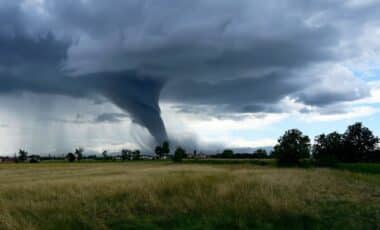
Tropical Storm Ivo is gaining strength in the eastern Pacific, prompting the National Hurricane Center (NHC) to issue a hurricane warning for offshore waters along the southwestern coast of Mexico. According to forecasts cited by Newsweek, the storm is projected to intensify steadily, with maximum sustained winds increasing as it moves parallel to the shoreline.
It is expected to reach hurricane status by Friday evening, remaining over open waters but close enough to produce hazardous weather conditions. Meteorologists warn of heavy rain, strong winds, and dangerous surf likely to affect parts of Guerrero, Michoacan de Ocampo, and Colima.
Tropical Storm Path and Current Conditions
As of the latest NHC update, Tropical Storm Ivo has maximum sustained winds of 45 mph, with gusts offshore reaching around 52 mph, according to animated weather footage from windy.com. Forecast models indicate the storm will track parallel to the Mexican coastline before turning west into the open Pacific.
The NHC is also monitoring Tropical Storm Henriette, currently located about 1,280 miles east of Hawaii, though it poses no immediate threat to land.
Rainfall Forecasts and Flooding Risk
Meteorologists expect rainfall totals of 2 to 4 inches across the Mexican states of Guerrero, Michoacan de Ocampo, and Colima through Friday, with isolated amounts up to 6 inches. The NHC warns that these totals will
Result in an elevated risk for flash flooding.
AccuWeather Lead Hurricane Expert Alex DaSilva stated:
A large swath of 1-2 inches of additional rain is expected from western Guerrero to southern Nayarit, Mexico. The heaviest rain will be closest to the coast with an AccuWeather Local StormMax™ of 5 inches.
DaSilva added:
Ivo will continue to bring dangerous seas, rough surf and strong rip currents to the coast of Mexico into this weekend.

Dangerous Marine Conditions
One of the most significant threats from Tropical Storm Ivo will be large waves and hazardous currents. Current offshore wave heights are around 11 feet.
Swells generated by Ivo will be affecting the southwestern coast of Mexico during the next couple of days – The NHC warned.
These swells are likely to cause life-threatening surf and rip current conditions. Please consult products from your local weather office.
These marine hazards are expected to persist even without a direct landfall, making nearshore waters unsafe for swimmers and small craft operators.
Regional Outlook and Seasonal Context
Ivo is the ninth named storm of the Eastern Pacific hurricane season, which runs from May 15 to November 30. The National Oceanic and Atmospheric Administration (NOAA) has forecast a below-normal season with 12 to 18 named storms, of which five to ten could become hurricanes and two to five may reach major hurricane intensity.
Matthew Rosencrans, NOAA’s lead forecaster for the seasonal outlook, said NOAA will not release a revised update for the Eastern Pacific season. He described the early ramp-up of activity as “a little surprising”, but noted that total storm activity remains below average:
Although there have been several storms, most have been weak and short-lived.