A tropical disturbance brewing off the Southeast coast of the United States could impact the region during the Fourth of July holiday weekend. Forecasters are closely monitoring the system, which has a moderate chance of forming into a tropical or subtropical depression. While it is not a direct threat to Florida in the immediate future, the disturbance could bring heavy rainfall, thunderstorms, and deteriorating surf conditions along the Southeastern coastline.
The National Hurricane Center reported on July 3 that the disturbance has a 60% chance of developing into a cyclone over the next seven days, with a 20% chance of formation in the next 48 hours. This uncertainty adds an element of concern, particularly for those planning to spend time outdoors or near the water during the upcoming holiday weekend.
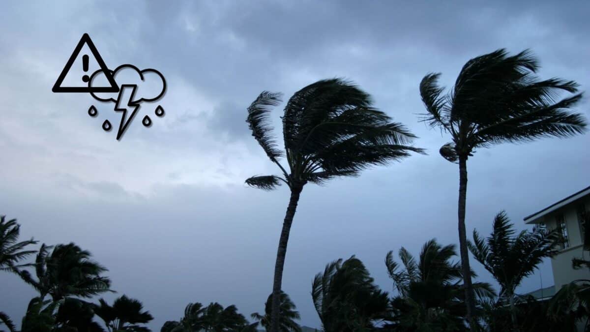
Storm’s Potential Impact on Florida and Surrounding States
Despite its uncertain development, the tropical disturbance is expected to bring increased showers and thunderstorms to parts of Florida, Georgia, and the Carolinas. The Florida Division of Emergency Management highlighted that the system could bring heavy rainfall to coastal areas, particularly later in the week. However, it is not anticipated to make landfall directly in Florida in the near future. The presence of these storm systems could lead to less-than-ideal beach conditions for holidaygoers, with potential disruptions to outdoor plans.
According to AccuWeather, those along the Southeast coast may experience deteriorating surf conditions, making it important for beachgoers to exercise caution. Thunderstorms, high winds, and heavy rainfall are likely, as the disturbance may strengthen into a tropical depression in the coming days.
TROPICAL TROUBLE? It's a perfect weekend, but a disturbance off the southeast coast could enhance rain in our area during the work week.
— Alex Calamia ☀️ (@AlexCalamiaWx) July 4, 2025
Still too early to see if the timing will match up with an approaching cold front, but it's worth watching.
Next name is #Chantal pic.twitter.com/lzWiruEyKr
Monitoring The System’s Evolution
Meteorologists are keeping a close eye on the disturbance, as it could rapidly intensify. If clusters of thunderstorms and a drop in pressure form around the system’s center, it could be classified as a tropical depression. Winds in a tropical depression range from 35 to 38 mph, which is a crucial threshold for determining the system’s classification. Experts predict that this development could occur over the holiday weekend or early next week as the system moves north or northeast along the coastline.
Hurricane forecasters are preparing for the potential of this disturbance turning into a more serious threat. The Atlantic hurricane season, which officially began on June 1 and lasts through the end of November, typically sees its peak from mid-August to mid-October. As the season progresses, storms like this one are becoming a more pressing concern for the Southeast U.S.
Preparing for Hurricane Season
As the storm system develops, experts are reminding residents in vulnerable areas to begin preparing for hurricane season. The National Oceanic and Atmospheric Administration (NOAA) recommends residents get their disaster supplies ready, review their insurance policies, and ensure they have adequate flood coverage. Since flood insurance requires a 30-day waiting period, now is the time to make necessary arrangements.
In addition to gathering supplies, NOAA stresses the importance of creating an evacuation plan. Knowing where to go and how to get there is essential in the event of a hurricane. Homeowners are also encouraged to take steps to protect their properties, such as trimming trees, securing windows, and reinforcing doors.
The Science Behind Tropical Storms and Hurricanes
Understanding how tropical storms and hurricanes form can help residents appreciate the severity of these systems. Hurricanes typically begin as clusters of thunderstorms over warm ocean waters, with conditions such as high temperatures and low pressure leading to their formation. Once these systems reach wind speeds of 39 mph, they are classified as tropical storms. When sustained winds reach 74 mph, they become hurricanes.
Tropical disturbances are common during hurricane season, but the unpredictability of their paths and strength requires constant vigilance. As this disturbance continues to evolve, authorities and forecasters will keep residents informed, ensuring that they can take appropriate action to protect themselves and their property.