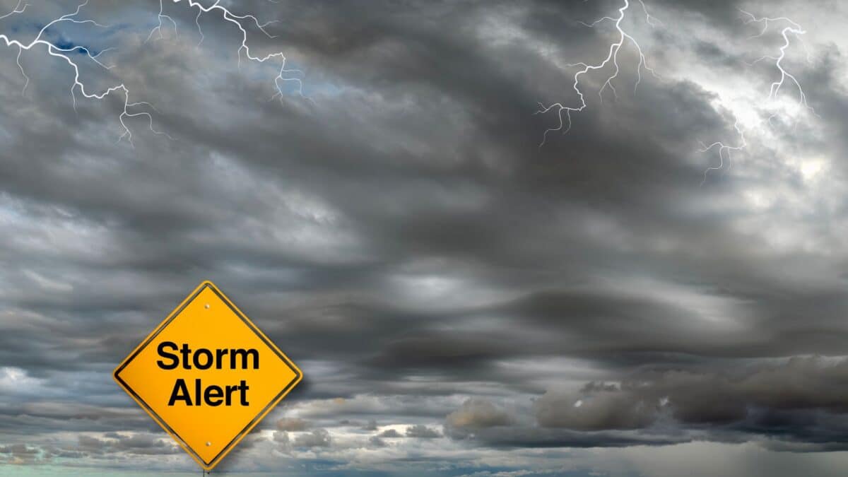
A powerful storm system has wreaked havoc across parts of the Midwest, leaving a trail of destruction and claiming at least four lives. On June 20, tornadoes, hail, and damaging winds struck multiple regions, notably in North Dakota and Minnesota, while parts of the East Coast brace for similar weather impacts as the system moves eastward.
The storms, which have been labeled “severe,” swept through rural areas of North Dakota, leaving significant damage behind. In the wake of these events, forecasts suggest the system will evolve into even more dangerous conditions, including the possibility of a derecho—a widespread, damaging wind event. As the storm moves across the Great Lakes and Northeast, areas such as New York and New England may experience localized flooding, high winds, and large hail.
Tornadoes and Deadly Winds in North Dakota
On the night of June 20, rural Enderlin, North Dakota, was struck by a series of tornadoes, resulting in three fatalities. Cass County Sheriff Jesse Jahner confirmed that a home was severely damaged around 11:40 p.m. local time, with the roof torn off and residents left shaken. Emergency responders found two victims in one location where a home had been destroyed, and a third was found nearby. Authorities have yet to report additional injuries, though the damage was extensive, leaving entire homes completely destroyed.
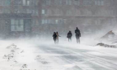
In nearby Minnesota, high winds and hail also left a trail of destruction. The National Weather Service reported gusts of up to 101 mph, and significant hailstorms were reported, some reaching 3.5 inches in diameter. The storms triggered power outages, leaving over 75,000 people without electricity. Local reports mentioned fallen trees, downed power lines, and damaged homes, adding to the already hazardous situation.
Impact of the Severe Weather in Other Regions
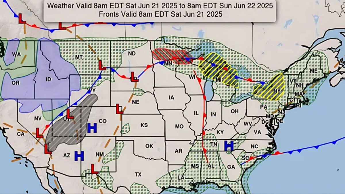
As the storm system continues its eastward progression, forecasters warn of more severe weather in the Great Lakes region and beyond. Areas such as New York and New England are preparing for the arrival of the system, expected to bring strong wind gusts, hail, and flash flooding throughout June 21. The National Weather Service has issued multiple alerts, urging residents in the affected areas to stay vigilant and ready for rapidly changing conditions.
The storm system, originating from North Dakota, could evolve into a derecho, a type of severe wind event that spans hundreds of miles, creating conditions similar to an inland hurricane. This potential development heightens concerns about the ability of emergency responders to manage such a vast and destructive storm system.
The “Ring of Fire” Heatwave
Simultaneously, the United States is grappling with a dangerous heatwave affecting much of the eastern half of the country. More than 150 million Americans were under heat advisories or warnings on June 21. Forecasters warned that temperatures in many areas could exceed 90°F, with some parts of Kansas, Nebraska, and Minnesota seeing highs above 100°F.
Meteorologists describe this heatwave as part of the “ring of fire,” a phenomenon caused by a high-pressure system over the Southeast. This atmospheric pattern generates clockwise winds, drawing moisture from the tropical East Pacific, fueling thunderstorms that intensify as they reach the edges of the heat dome. The combined heat and storm system make for particularly hazardous conditions, especially for vulnerable populations in urban areas.
The Long-Term Threat of Derecho
As this storm system evolves, there are growing concerns about its potential to transform into a derecho—a term used to describe a long-lasting and destructive windstorm. AccuWeather has issued warnings that the system could bring sustained, damaging winds, akin to an inland hurricane, over large regions. Historically, derechos have caused significant damage to infrastructure, particularly to trees, power lines, and buildings.
Emergency management officials are urging communities across the path of the storm to prepare for potentially extreme conditions. While forecasts suggest that the system could weaken by the time it reaches some urban centers, the risk remains high for those in the path of the storm.
The unpredictable nature of these severe weather systems continues to challenge local governments and emergency responders as they work to mitigate the immediate threats of power outages, flooding, and wind damage. As communities brace for what could become a larger weather event, the urgency of preparedness has never been clearer.