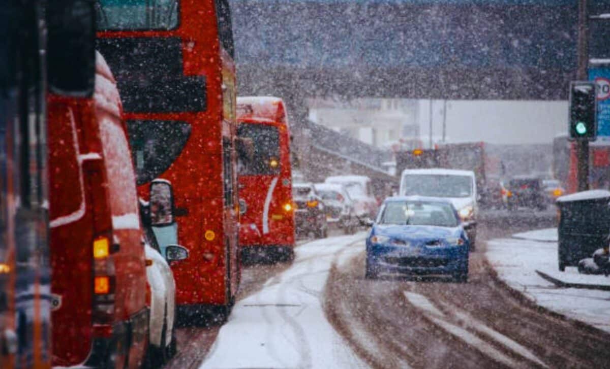
The UK is bracing for a sharp drop in temperatures and the likelihood of widespread snowstorms as the festive season draws near. With forecasts predicting heavy snowfall, the country is preparing for potential disruptions.
According to recent reports, a 411-mile snowstorm will sweep across much of the UK, while an Arctic blast is expected to send temperatures plummeting as low as -15 °C in some areas.
411-Mile Snowstorm Set to Bring Widespread Disruption
From December 7, the UK will experience a massive snowstorm stretching across 411 miles (661.44 km), affecting parts of the country from Newcastle and Cumbria to Northumberland and Greater Manchester. The storm is expected to bring significant snowfall, with some areas facing up to 10 cm of snow on higher ground.
The Met Office has warned that snow showers will likely move in off the windward coasts, impacting regions like Northern Ireland, Wales, and northern England.
While the storm will have a broad reach, some areas, including the Midlands, the South, and Cornwall, are expected to remain dry. However, even in these drier regions, the cold weather will persist, with freezing conditions and severe frost expected during the nights.
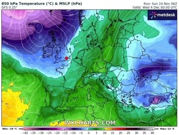
Arctic Blast Could See Temperatures Plunge to -15 °C
An even colder front will follow, bringing Arctic air that could cause temperatures to drop as low as -15 °C in some areas. Weather maps from WX Charts highlight a purple zone, indicating a significant cold snap.
The Met Office Chief Meteorologist, Neil Armstrong, explained that the UK is currently under the influence of “cold Arctic air firmly in place,” and warned of “continued winter hazards” throughout the coming days.
Starting on December 4, temperatures are expected to dip sharply, especially in Wales, Northern England, and Scotland, where snow showers will bring up to 10 cm of snow on higher ground. At lower levels, 1-2 cm of snow could accumulate, increasing the likelihood of travel disruption.
You might want to remember your sunglasses on Tuesday, but will you also need an umbrella? 😎☂️
Find out in the 4cast 👇 pic.twitter.com/lF5oAvuqvw
— Met Office (@metoffice) November 25, 2024
December Forecast: Cold, Dry Start with More Snow Expected Later
Looking ahead, the Met Office forecasts that the beginning of December will bring largely dry conditions, particularly due to high pressure over the UK.
However, this will give way to more unsettled weather as the month progresses, with Atlantic weather systems bringing wetter and windier conditions, as well as more snow, especially in the north.
The Met Office also notes that the cold will be most severe during the night, with temperatures dropping well below freezing in many areas, particularly in elevated regions.
In its long-range forecast, the office also predicts “snow is likely to be seen in northern areas” and warns of “challenging travel conditions” due to both snow and ice.

