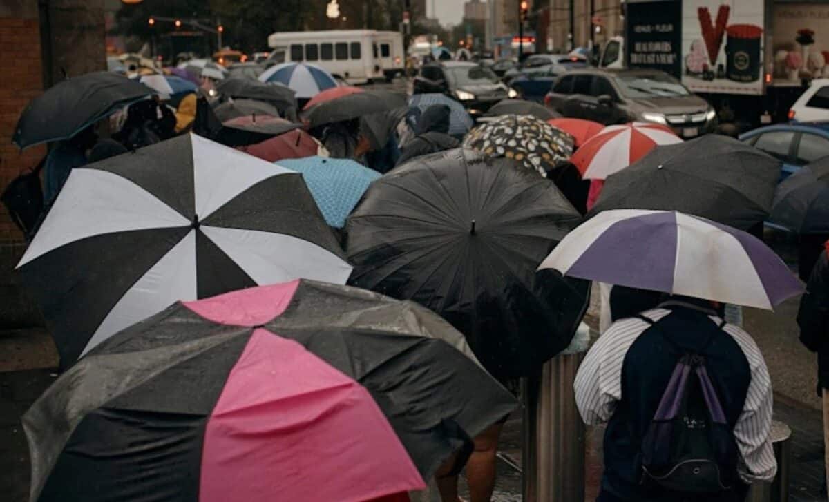
An unusual weather system is set to bring significant rainfall and flash flooding risks to millions across the United States this week. The phenomenon, known as an “Omega block,” will create stagnant conditions that could result in heavy rain, flash floods, and rising river levels.
The National Weather Service has warned millions in the southern U.S. of potential flooding, while the Northeast is expected to receive much-needed rainfall that could provide relief to areas suffering from drought.
A Slow-Moving System
Meteorologists have identified a rare atmospheric pattern, the “Omega block,” which is disrupting the usual flow of weather systems. According to FOX Weather, this pattern is causing prolonged periods of heat in some regions while bringing steady rain to others.
The Omega block is characterised by a slow-moving weather system, which can remain in place for several days. This means that large areas in the southern U.S., from the Southwest to the Gulf Coast, will experience persistent rainfall throughout the week.
The rain could be heavy, with some areas receiving between 76 and 152 millimetres of precipitation, and potentially even more in isolated regions. As a result, flood risks are rising, particularly in areas that have already experienced heavy rainfall in recent weeks.
The saturated soil and higher river levels are expected to increase the threat of flash floods, which could be severe.
According to the National Oceanic and Atmospheric Administration (NOAA), over 35 million people in the southern U.S. will be at risk of flash floods this week, with the greatest threats expected on Tuesday night into Wednesday morning.
Impact on Key Cities
Some cities are facing a particularly high risk of severe weather, with heavy rainfall likely to cause significant disruption. New Orleans, Jackson, Mississippi, and Alexandria, Louisiana, are in the direct path of the weather system, and these areas may see the worst of the downpours.
Many of these cities have already been dealing with saturated ground and rising river levels, heightening the flood risk. Local authorities are advising residents to remain vigilant as the weather system progresses.
In contrast, the Northeast and Mid-Atlantic regions will receive rainfall that is expected to benefit drought-stricken areas. Computer models predict between 1 and 3 inches of rain for much of the Interstate 95 corridor, with some parts of New York and Connecticut possibly receiving up to 5 inches.
Although this rain will help alleviate dry conditions, meteorologists are warning of possible severe weather, including hail and strong winds, as a result of the unstable atmospheric conditions.
The weather system is expected to shift by next weekend, allowing for a return to more typical spring weather across the U.S. However, for now, millions remain at risk from flash floods and severe weather as the unusual Omega block continues to bring rain and disruption.


