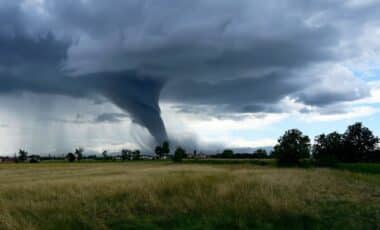
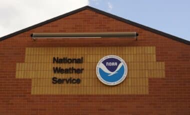
The possibility of the next tropical storm forming in the Atlantic, which could potentially be named Storm Jerry, has recently gained attention. According to a report from Newsweek, the National Hurricane Center (NHC) has raised the chances of a disturbance in the region developing into a tropical storm.
This disturbance, which began as a tropical wave off the western coast of Africa, now holds a 50% chance of strengthening into Tropical Storm Jerry over the next seven days. However, the system’s chances of intensifying into a tropical storm within the next 48 hours remain very low, making it a situation to watch closely.
Why Jerry’s Formation Matters
Understanding the significance of this developing tropical storm is crucial, especially in the context of the broader Atlantic hurricane season. The season runs from June 1 through November 30, and it is often marked by periods of intense activity followed by calmer spells. AccuWeather’s Lead Hurricane Expert Alex DaSilva predicts that the season will ramp up in its final two months after a relatively quiet summer.
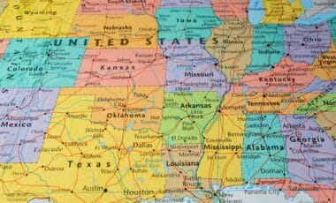
The Atlantic hurricane season is typically busiest from August through October, and the National Oceanic and Atmospheric Administration (NOAA) has forecasted between 13 and 19 named storms for the year, with 6 to 10 of them expected to strengthen into hurricanes. This makes it all the more important to keep a close watch on disturbances like the one forming off the coast of Africa.

In addition to Jerry, meteorologists are also tracking other systems in the Atlantic, such as a disturbance closer to Florida, which has a 10% chance of strengthening into a tropical storm over the next seven days.
This system is expected to bring significant rainfall to parts of Florida and the Bahamas through the weekend, though its chance of developing into a stronger system is low due to strong upper-level winds that are preventing further intensification. As the NHC explained,
Strong upper-level winds are expected to prevent significant development of the low, however the combination of the disturbance and the broader remnant boundary is still expected to produce heavy rainfall and possible flooding across portions of Florida and the Bahamas through the weekend.
Tracking Multiple Systems in the Atlantic
While the system near Florida is receiving attention, the tropical wave emerging from Africa is showing more potential for development. According to the NHC, this wave is expected to interact with another disturbance in the eastern tropical Atlantic, which may help it move westward. As Alex DaSilva mentioned in a recent report,
A new tropical wave [has emerged] off the western coast of Africa. There is some disruptive wind shear in this part of the Atlantic, but the tropical wave may pass south of the shear in an area that could support development.
This wave is still in its early stages, but its development is critical, especially as the hurricane season continues.
The NHC has updated its forecast regarding the tropical wave, noting that,
A tropical wave has just emerged off the coast of Africa. The wave is forecast to interact with another disturbance over the eastern tropical Atlantic, and then move westward after that. Environmental conditions are expected to become conducive for some slow development of the system in a few days, and a tropical depression could form near or east of the Lesser Antilles by the end of next week.
While it is currently too soon to predict exactly when Jerry may form, its chances of becoming a tropical depression or storm in the coming days are increasing. As the system moves westward, it will need to be closely monitored by meteorologists.
What’s Next for Hurricane Season?
As the storm systems continue to develop, it’s clear that the Atlantic hurricane season is far from over. With a 50% chance of the tropical wave strengthening into Tropical Storm Jerry over the next seven days, residents in hurricane-prone areas should stay informed and prepared.
The unpredictable nature of tropical disturbances means conditions can change rapidly, and being ready for possible impacts—such as heavy rain, flooding, and storm surge—will be key.
Meanwhile, the system closer to Florida, despite its minimal chances of developing, is still expected to bring heavy rainfall and possible flooding to parts of Florida and the Bahamas over the weekend.
The NHC has warned that the combination of this system and the broader boundary left behind by previous disturbances could lead to significant weather impacts in these regions. As they explained,
A weak area of low pressure located near the central and northwestern Bahamas is producing disorganized shower activity. This system is expected to drift west-northwestward across the northwestern Bahamas and toward southern Florida during the next couple of days.