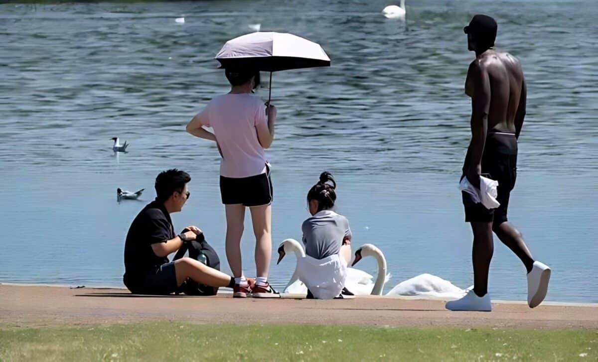
Temperatures are poised to rise dramatically as a heatwave approaches the UK, in a drastic change from the downpour and gusts that have lately suffered the UK. This is mainly due to southwestern England’s weather as the remnants of Storm Lillian pass that unhindered look of fiery temperatures that may reach 31 °C.
Weather maps from WXCharts have revealed that parts of the UK are set to experience an influx of Iberian warmth as early as next week. This unforeseen change in weather is expected to provide some level of respite from the rains and storms that have recently plagued the country. Most of these scorching weather condition are anticipated by September the fifth, and they are likely to be most concentrated.
Blistering Temperatures on the Horizon
The source of this heatwave is Southern Europe, where holiday destinations like Seville and Lisbon are already recording highs of 41 °C and 38 °C, respectively. This intense heat is predicted to drift northward, bringing with it temperatures nearing 30 °C across southern England.
Cities such as London, Southampton, Birmingham, and Cardiff are in for a particularly warm spell, with Worcester and Leeds also on the list of places that will feel the burn.
Heatwave Forecast: What to Expect
The spell of the weather in the UK is expected to take a notable turn beginning Sep 5 and ending Sept 7. This period has marked the end of the unsettled weather caused by Storm Lilian which recently brought a yellow warning from the Met office for wind and rains.
However, now with high-pressure building in from the southwest, the UK is in line for a relaxing warm and sunny spell which is delightful, to say the least, after so many weeks of a dreary spell of the weather.
According to the Met Office, an official classification for sustained heat is characterized by a maximum daily temperature relating to a particular level, which is continuously exceeded for 3 days and more. With several places such as Southampton expected to exceed 31 °C, the nation is most certainly on course to meet the expected guidelines defined.
As is the case with most of these long range forecasts, the outlook from the Met Office seems to suggest that fairly settled weather, at least in the southwest, is likely. With less cold nights but warmer daytime temperatures than usual.
However, the weather is not all bed of roses. For a few patches, there is still a chance that there will be rains, which will probably come down as thundery showers and thunderstorms, more in the northwest and south than the rest of the country.
Yet, the overall trend is clear: hot, dry, and sunny conditions are set to dominate, offering a final taste of summer before the cooler autumn months take hold.


