La Niña conditions have officially emerged, promising to influence weather patterns across the United States as we move into winter. While this year’s La Niña is expected to be weak, it still has the potential to cause significant disruptions in the seasonal forecast. Meteorologists are already monitoring its effects on temperatures, precipitation, and even the hurricane season, as it plays out through the coming months.
This recurring climatic phenomenon, which is part of the broader El Niño-Southern Oscillation (ENSO) cycle, typically brings cooler temperatures to parts of the U.S. North while increasing the likelihood of dry and warm conditions in the South. Although predictions suggest this particular La Niña may not pack the punch of previous, stronger events, its presence is enough to influence long-term weather trends for the rest of 2025 and into early 2026.
La Niña’s Core Effects on U.S. Winter
La Niña conditions are characterized by cooler-than-average sea surface temperatures in the central and eastern Pacific Ocean. This cooling shifts the jet stream, the fast-moving air current that steers weather systems across the globe. As a result, the U.S. typically sees a clear split in weather patterns during a La Niña winter.
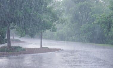
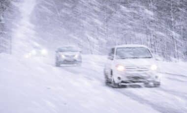
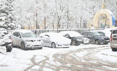
In the northern part of the country, colder than usual temperatures are expected, particularly in the Pacific Northwest, Great Lakes, and Upper Midwest. Precipitation levels will likely remain above average, with snowstorms predicted in several regions that rely on winter snow for water supply. According to NOAA, this is the most typical outcome for La Niña winters.
Meanwhile, in the southern U.S., the picture is quite different. States like California, Arizona, and much of Texas tend to experience dry conditions during La Niña winters. This can worsen ongoing droughts, especially in the West, where winter rains are essential to replenishing the water table. The southern states may also see higher-than-average temperatures, exacerbating heatwaves that already affect the region.
The Role of a Weaker La Niña
While La Niña’s effects are usually well understood, this year’s event is expected to be weaker than usual. Such conditions can make the exact nature of the weather more difficult to predict. Meteorologists have acknowledged that a weaker La Niña might not produce the extreme cold or heavy snow often associated with stronger events, but it will still likely create disruptions.
For instance, the Pacific Northwest may still experience above-average snowfall, though less than in a stronger La Niña year. Likewise, dry conditions will continue in the South, but the extent of drought may be less severe. This year’s La Niña might also have a less pronounced impact on the hurricane season, although some experts still anticipate increased storm activity, particularly in November.
While the current La Niña is expected to be weaker, its presence is enough to shape winter forecasts, especially for those living in the northern and southern U.S. Though the typical weather patterns are likely to remain in place, the unpredictable nature of a weak La Niña means that variations could occur.