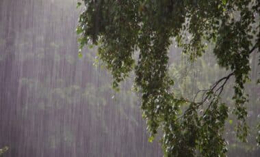
Australia’s eastern states are in for a wild weekend, with storms set to sweep through Queensland, New South Wales, and beyond. The Bureau of Meteorology (BoM) has issued severe weather warnings for the region, predicting heavy rain, strong winds, and the possibility of flash floods. For some, this weekend is shaping up to be a mix of torrential downpours, hailstones, and even power outages.
Queensland and Brisbane Brace for Severe Storms
As the storms roll in, Brisbane is bracing for up to 80mm of rain between Friday and Sunday, with the worst weather expected Friday night and continuing through the weekend. Severe storms could bring damaging winds, large hail, and the kind of heavy rainfall that could lead to flash flooding in vulnerable areas like Toowoomba, Ipswich, and Maroochydore. The BoM‘s senior meteorologist, Sarah Scully, warns that these conditions are typical of the “severe weather season” that has already delivered its fair share of chaotic storms.
A Long Weekend of Storms in South-East Queensland
In fact, it’s the fifth consecutive weekend of severe storms in south-east Queensland, which has some locals feeling like they’ve seen this script before. Supercell storms have wreaked havoc in recent weeks, and the region is again on high alert. As if that weren’t enough, a few thousand homes in the Brisbane area are already without power, with major disruptions to services in places like Logan, Ipswich, and the Gold Coast. The storms in the Darling Downs and Maranoa regions could also escalate quickly, potentially turning into the kind of extreme weather that’s hard to prepare for.
Sydney and Melbourne: Wet Weather on the Horizon
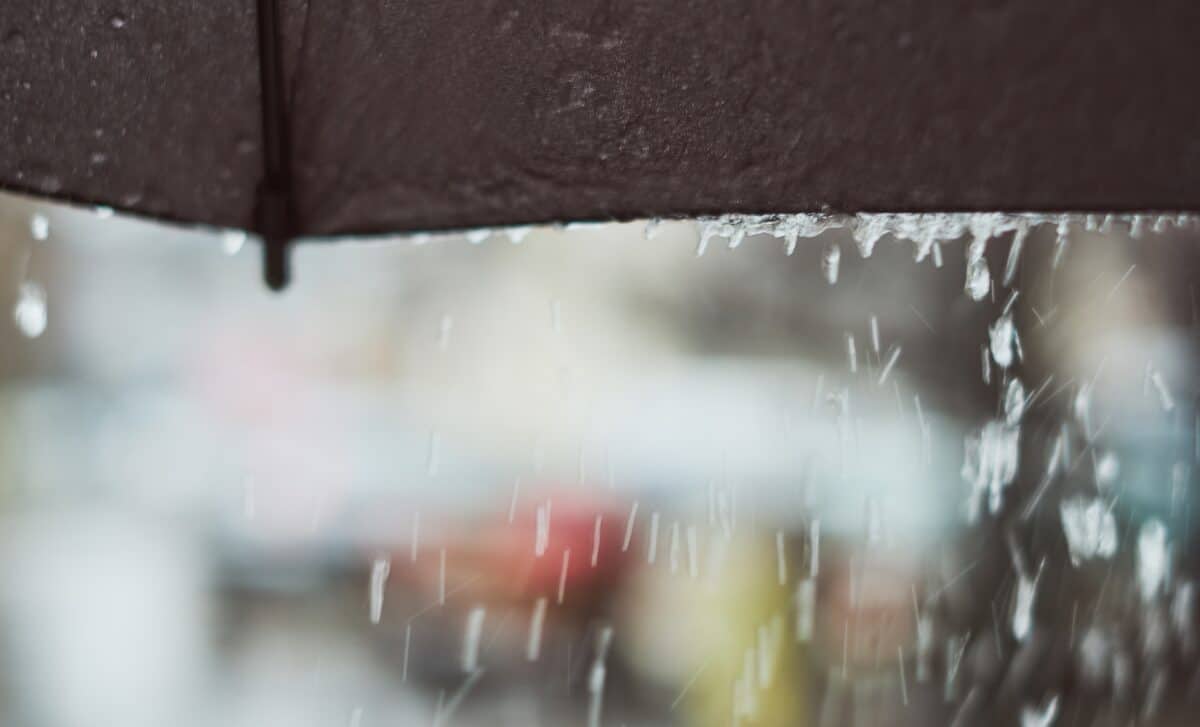
Over in Sydney, things are a bit calmer at the start of the weekend, with temperatures hovering around a cool 17°C on Saturday morning. But don’t get too comfortable – by Saturday afternoon, the weather takes a turn. Expect rain, followed by the chance of a thunderstorm later in the day. Sunday will offer a bit of relief, but the worst of the wet weather should already be moving offshore. For now, Sydney-siders might want to keep their umbrellas handy.
Melbourne, too, will see some rain, although not as intense as Queensland’s. Saturday and Sunday are expected to be a bit cooler with thunderstorms likely, particularly in the morning. By Sunday evening, a few showers will wrap up the weekend. So if you’ve planned to head out, pack a raincoat.
Perth Remains Dry
Meanwhile, Perth won’t feel the effects of this weekend’s storms at all. With sunny skies and temperatures reaching 25°C on Saturday, it’s hard to believe that much of the rest of the country is grappling with wild weather. There’s also a slight chance of a tropical cyclone forming off the coast of Northern Australia early next week, but the BoM has cautioned that the likelihood remains low.
The current surge in wet weather is caused by a combination of multiple low-pressure troughs and tropical moisture, which are converging across the east. This has created a cloud band that stretches all the way down to Tasmania. Scully says this “unsettled” pattern is likely to continue as the country moves deeper into summer.
Fire Danger Looms in New South Wales
While the storms are certainly making headlines, the BoM also highlighted the potential for extreme fire conditions in parts of New South Wales. In areas like the central and southern slopes, fire danger ratings are expected to spike, giving us a stark reminder of the volatile weather patterns gripping the country.