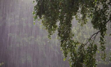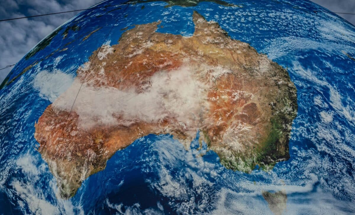
As a powerful cold front barrels towards southeastern Australia, Victoria is preparing for a weekend of intense weather, including destructive winds, blizzards, and the potential for power outages. Gusts of up to 130km/h are expected to sweep through the region, with snow falling as low as 600 metres and blizzards forecasted in alpine areas.
The storm, which has already caused significant disruption in South Australia, will push further east, impacting Melbourne, Geelong, and other parts of Victoria on Saturday. Severe weather warnings are also in place for New South Wales, Tasmania, and parts of South Australia, as conditions worsen over the weekend.
Destructive Winds and Power Outages
According to Tim Wiebusch, Chief Officer of the State Emergency Service (SES), Victoria is facing “unprecedented” wind speeds, with gusts reaching up to 130km/h. These strong winds are expected to cause widespread damage, including fallen trees, power lines, and structural damage to buildings. The SES has advised residents to secure loose items around their homes, charge devices, and stay indoors if possible.
“We haven’t seen wind like this for some time,” Wiebusch said, emphasising the potential for power outages and disruption to local infrastructure. The SES has already responded to multiple incidents, including cars damaged by falling trees and one person injured by debris. The public is urged to avoid unnecessary travel, particularly in areas with heavy tree cover, where the risk of falling branches and trees is highest.
Snowfall and Blizzard Conditions
In addition to the fierce winds, snow is expected to blanket parts of Victoria, with elevations as low as 600 metres seeing a covering. The alpine regions above 1,200 metres are predicted to experience blizzard conditions, further complicating travel and outdoor activities. Areas like Mount Hotham have already recorded wind speeds of up to 113km/h, exacerbating the severe weather.
The snowfall will also extend to unusual locations, including the Flinders Ranges in South Australia and the Grampians in Victoria. The Bureau of Meteorology has warned that these conditions may lead to dangerous travel, especially in high-altitude regions.
“We’re asking people to remain vigilant, don’t be travelling if you don’t need to be. Clear up around your property, make sure there’s no loose items, and if you can remain indoors in safety, that’s the best place to be.” said Vicki Ward, Victoria’s Minister for Emergency Services.
As the storm progresses into Saturday, further snow showers, possible hail, and heavy rainfall are expected to affect much of the southeast, with flood warnings still in place for parts of Tasmania. The Bureau of Meteorology is monitoring river levels closely, with some minor to moderate river rises anticipated.
In Melbourne, temperatures are forecast to remain cool, peaking at just 13°C, while the rest of the country’s capitals will experience milder conditions. While the storm’s intensity is expected to ease by Sunday, the immediate risks of power disruption, dangerous winds, and hazardous travel conditions remain high.