Sydney is set to experience its hottest October on record, with temperatures soaring far above average for the month. But as the city grapples with sweltering heat, a severe thunderstorm is predicted to hit on Friday, bringing damaging winds, large hail, and a dramatic temperature drop.
While Sydney bakes under an unseasonably hot sky, its residents are bracing for another kind of weather. Severe thunderstorms are expected to sweep across New South Wales, including the city, later this week, threatening to bring not only a respite from the heat but also potential destruction.
Sydney’s Hottest October on Record
Sydney’s climate has been anything but typical this October. According to Weatherzone, the city is on track to break its 168-year record, with the first half of the month averaging a temperature of 27°C—5°C higher than the usual for this time of year. This intense heat can be attributed to westerly winds blowing warm air from inland New South Wales towards the coast, exacerbated by a rare phase of stratospheric warming high above Antarctica.
Such conditions are not just uncomfortable; they are unusual. “The prominence of westerly winds over eastern NSW this month has been driven by a prolonged negative phase of the Southern Annular Mode (SAM),” said Ben Domensino, a meteorologist at Weatherzone. A negative SAM weakens the easterly winds that typically bring cooler, rain-bearing clouds to the region, allowing hot air to linger in the atmosphere.
This extreme heat has not gone unnoticed. Local authorities are warning residents to remain cautious as temperatures are set to remain above average for the foreseeable future. Meanwhile, Sydney’s hottest October in history stands in stark contrast to the impending threat of severe weather.
Severe Thunderstorms on the Horizon
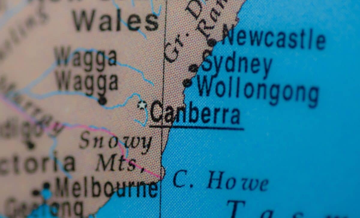
Friday afternoon marks the arrival of a severe thunderstorm expected to hit Sydney and surrounding regions. According to the Bureau of Meteorology, the storm is forecast to bring large hailstones, gusty winds exceeding 90 km/h, and the potential for flash flooding. These storms are set to affect areas from Wollongong and the Central Coast to Newcastle and Port Macquarie, with Sydney right in the centre of the risk zone.
The storm will provide some relief from the intense heat, but it is also accompanied by dangers. “ Large hailstones bigger than 2cm across, which can damage crops, cars and roofs,” said Bureau of Meteorology senior meteorologist Angus Hines. The intense winds are also expected to cause widespread property damage, power outages, and even the possibility of uprooting rubbish bins, which Hines described in a light-hearted but serious tone.
Sydney residents can expect the storms to hit around 4 pm, with temperatures expected to drop sharply as the front moves in. This dramatic change serves as a reminder of the unpredictable nature of Australia’s spring weather, which frequently oscillates between extremes of heat and sudden, violent storms.