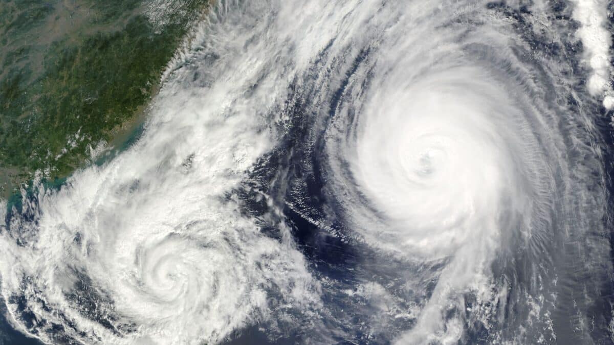
Sydney residents are preparing for severe weather conditions as a coastal low-pressure system rapidly intensifies and barrels towards the city. The Bureau of Meteorology has issued warnings for gale-force winds, torrential rain, and rough surf, with the worst of the storm expected to hit later this week. This weather event is set to affect large parts of New South Wales and Victoria, causing potential disruptions along the eastern coastline of Australia.
The low-pressure system is forecast to form off the southeastern coast of Queensland before intensifying over the weekend and traveling southward. The Bureau’s warnings highlight the potential danger posed by these extreme weather conditions, urging locals to take precautions and stay informed. The storm is expected to peak in intensity by Tuesday and Wednesday, when gale-force winds and heavy rain will create hazardous conditions for those in the affected areas.
Coastal low to Intensify Before Reaching Sydney
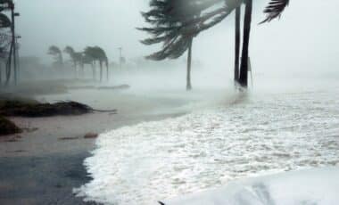
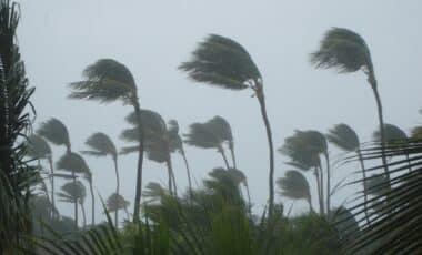
The low-pressure system is set to develop off Queensland’s southeastern coast, gaining strength as it moves southward. According to the Bureau of Meteorology, the system will rapidly intensify on Monday before making its way towards Sydney. Once it reaches the city, gale-force winds will batter the coastline, with the strongest gusts predicted to exceed 90 km/h. This will be accompanied by torrential rainfall, which could cause flash flooding in some areas.
The storm’s movement suggests that while Sydney will experience the worst conditions, nearby regions will also face significant disruptions. The east coast of Australia is no stranger to coastal lows, but this storm is expected to bring particularly severe conditions due to its rapid intensification.
We're being warned of a dangerous weather system called a Bomb Cyclone which is expected to bring winds of more than 100 kilometres an hour and up to 250 millimetres of rain. https://t.co/8ExK6G2Lqn #NEWS pic.twitter.com/ciPWdNlqDz
— 7NEWS Sydney (@7NewsSydney) June 29, 2025
Severe Weather: Warnings in Place for Affected Areas
The Bureau of Meteorology has issued a series of warnings for affected areas, urging residents to prepare for potential power outages, property damage, and dangerous conditions on roads and beaches. The storm is also expected to generate hazardous surf conditions along the coastline, increasing the risk of coastal erosion and dangerous rips.
Authorities are advising residents to secure loose objects around their properties, stay indoors during the peak of the storm, and avoid non-essential travel, especially in flood-prone areas. Emergency services are on alert, and coastal communities are preparing for potential evacuations if necessary.
Potential Impacts for New South Wales and Victoria
As the storm progresses southward, the weather event will also affect parts of New South Wales and Victoria. Coastal areas, including regions such as Newcastle and Wollongong, are expected to face similar conditions to those in Sydney, including strong winds and heavy rainfall. This could lead to disruptions in public transportation and power supplies across affected regions.
The storm’s path suggests that areas in Victoria will begin experiencing the brunt of the weather by Wednesday, with Melbourne and surrounding regions facing strong winds and rain as the system moves closer to the state.
Local Authorities Urge Preparedness as Storm Approaches
Local authorities have been working closely with the Bureau of Meteorology to monitor the storm’s progress and provide timely updates to the public. As the situation develops, additional warnings may be issued for specific areas based on the storm’s strength and movement.
Emergency services are preparing for increased demand for assistance, particularly in flood-affected regions. Authorities are also urging residents to follow official updates and heed evacuation orders if issued. With the worst of the weather expected on Tuesday and Wednesday, staying informed and prepared will be crucial for those in the storm’s path.