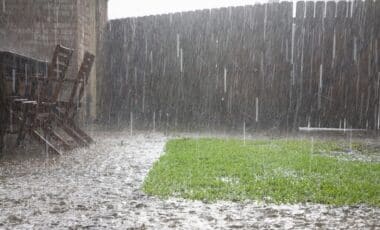
Sydney is grappling with its wettest August in 27 years, with no signs of the deluge letting up. According to the Bureau of Meteorology, the city has already received over four times its typical rainfall for the month, causing significant disruption and posing a risk of flooding. As more rain is forecast, residents are bracing for further challenges from this relentless weather system.
In the first three weeks of August, Sydney has recorded 241mm of rain, a total that places the city on track to break records for the month. The Bureau is predicting more rain for the coming days, with totals potentially reaching 90mm, exacerbating flood risks across the state. This unusual weather pattern is proving a challenge for both residents and authorities, as the wet conditions show no signs of easing.
Unusual Weather Patterns Lead to Ongoing Disruptions
The persistent rainfall is being driven by an upper-level low-pressure system sitting over northern New South Wales. According to Bureau of Meteorology senior meteorologist Angus Hines, this system is drawing in moisture from warm ocean waters off north-east New South Wales and Queensland.
As the humid air moves across the region, it’s generating prolonged cloud cover and heavy rain. While August is typically one of Sydney’s drier months, the recent weather events are defying expectations, with rainfall totals far exceeding historical averages.
The current conditions are particularly concerning because of their potential to worsen throughout the week. Forecasters predict up to 30mm of rain on Wednesday and 60mm on Thursday, with thunderstorms also possible. These downpours, though expected to ease by Friday, are likely to bring light showers through the weekend, further dampening spirits in the already waterlogged city.
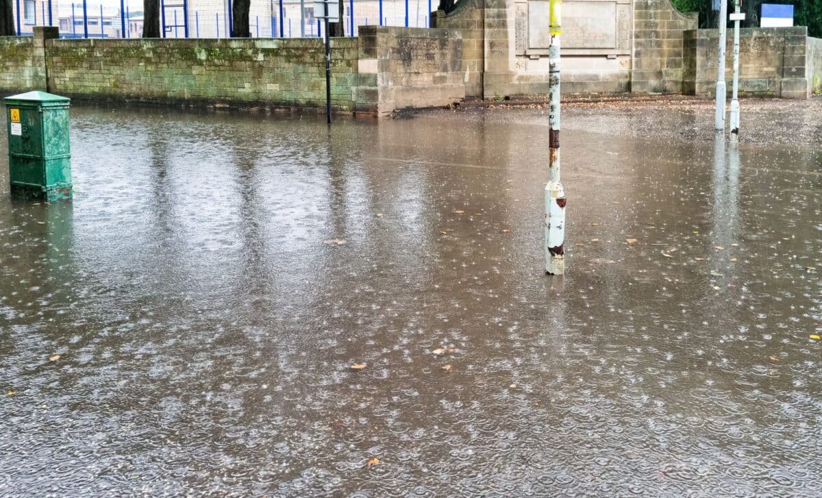
Flooding Risk Remains High Across New South Wales
The heavy rains have led to a significant flood risk, particularly across the state’s already saturated catchments. According to the New South Wales State Emergency Service (SES), more than 20 warnings have been issued, with authorities on high alert for both minor and moderate flooding. The SES Deputy Commissioner, Deb Platz, described the ongoing weather system as a “significant weather event,” with compounding rainfall heightening the risk of flooding in communities that are already fatigued by recent weather events.
The combination of persistent rainfall and the current saturation levels has made floodwaters more dangerous, with the SES advising residents to stay clear of flooded areas and not to drive through floodwaters. Tragically, earlier this month, a Chinese tourist lost her life after the car she was in was swept away by floodwaters in the Hunter region. The ongoing rains continue to pose a significant threat, with authorities urging the public to remain vigilant and follow safety advice closely.