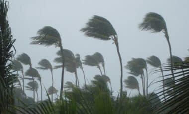
A series of intense storms swept through southwestern Western Australia on Tuesday, delivering large hail, damaging wind gusts, and a reported funnel cloud near the Frankland River that may indicate a possible tornado.
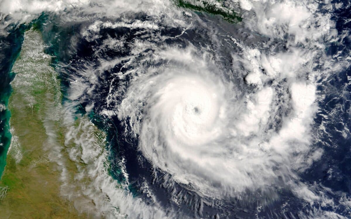
The event marked the second consecutive day of unsettled weather, linked to an active low-pressure system positioned off the coast.
According to 7NEWS, further thunderstorms are forecast to move inland on Wednesday, continuing the current pattern of atmospheric instability.
While assessments are still underway, meteorological data suggests that similar storm conditions may persist, potentially affecting additional areas along the coast and surrounding inland regions.
Low-Pressure System Drives Consecutive Days of Storms
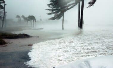
An active low-pressure system off the coast has triggered two consecutive days of storms. On Tuesday morning, Cape Naturaliste recorded wind gusts of 85 km/h, while Rottnest Island experienced gusts of up to 74 km/h.
Heavy rain also hit the region, with 40 mm falling on Margaret River and 30 mm recorded in areas surrounding Bunbury during the 24 hours leading up to 9 a.m.
The storm system remains active, with forecasts pointing to continued instability through midweek.
Locals Report Funnel Cloud Near Frankland River
Footage shared by residents captured a funnel cloud near the Frankland River lasting several minutes, prompting speculation that a tornado may have formed. Locals also shared images of large hailstones, unusual for this time of year.
Normally you think of thunderstorms at this time of year just having little bits of hail come through and lots of wind, but there’s been enough shape of the atmosphere… to help that larger hail grow – Said meteorologist Helen Reid.
Atmospheric Conditions Support Rare Tornadic Formation
Although not commonly reported in populated areas, tornadoes are not uncommon in Australia, with the Bureau of Meteorology (BOM) estimating 30 to 80 occurrences annually, particularly in late spring and early summer.

Reid emphasized that current atmospheric conditions are capable of producing tornadic activity.
The idea of the thunderstorms with the possibility of a tornado is not out of the question, given that it just needs to have the lowest levels of the atmosphere turning into the winds to allow that formation to occur – she said.
When you do have distinct winds through the depth of the atmosphere, there is a possibility, on this occasion, for tornadoes as well.
Assessment Underway to Confirm Potential Tornado
Whether a tornado actually formed is still under review. Reid noted that the visual evidence posted online was strong but not definitive.
The footage on social media is quite compelling, but we need to see if there’s actually been a touchdown or not – she said.
However, we need to look into that in more detail.
If a tornado is suspected, BOM dispatches a specialist to conduct a damage assessment.
You need to see that the damage is from all directions rather than just one sort of direction, and that there’s a twisting of debris rather than just being knocked down like a direct wind has gone through – Reid explained.
There’s also the pattern of the debris formed that gives a good indication of tornadic formation as well.
This type of inspection is used to confirm a ‘touchdown moment’, the critical evidence required to verify a tornado.