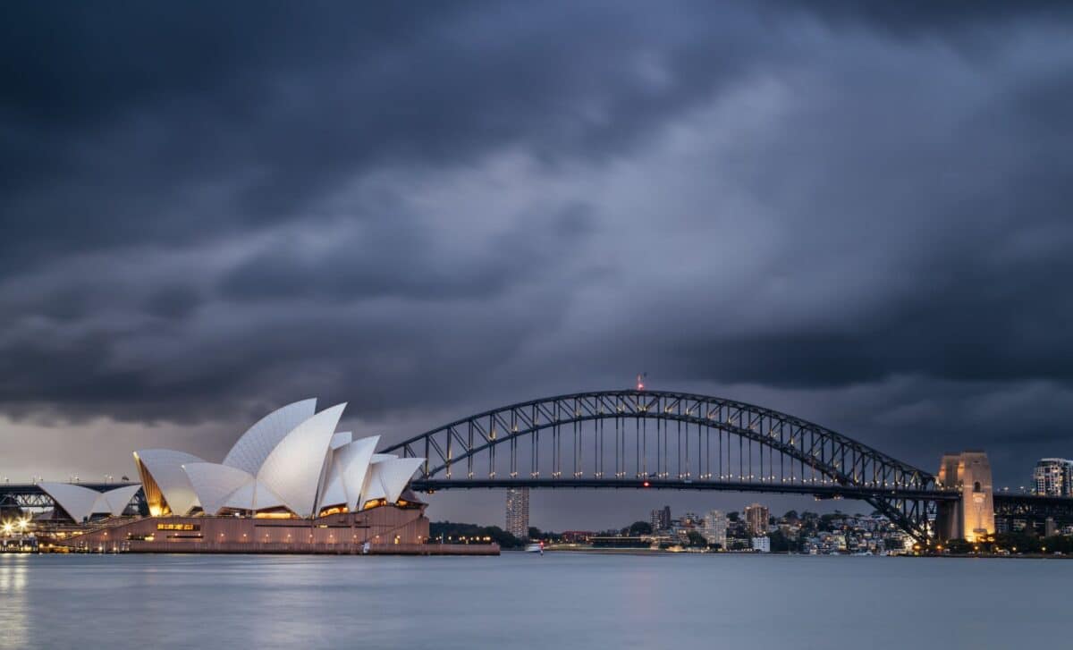
Sydney and parts of the New South Wales (NSW) coast are facing a week of heavy rainfall and severe weather warnings, raising concerns over flooding and travel disruptions.
According to the Bureau of Meteorology, the city is expected to receive more than a month’s worth of rain in just seven days, with strong winds and hazardous surf conditions forecast along the coastline.
This extended period of wet weather follows an already intense start, with Sydney experiencing significant rainfall in recent days. Authorities have issued warnings and advised residents to remain cautious, highlighting the ongoing challenges posed by extreme weather events in the region.
Heavy Rainfall and Flood Warnings Put Northern NSW on Alert
According to the Bureau of Meteorology, Sydney could receive approximately 120mm of rain over the coming week, with daily falls ranging from 5mm to 25mm expected between Tuesday and Friday. The weather system has already caused notable disruption, including a large tree falling across a road and power lines in Terrey Hills.
In the 24 hours to Monday afternoon, the NSW State Emergency Service (SES) responded to 137 requests for assistance, primarily in the northern zones between the Central Coast and Nambucca.
Severe weather warnings remain in place for areas including the Mid North Coast, Hunter, North West Slopes and Plains, and Northern Tablelands, where heavy rainfall could trigger flash flooding and river rises.
The Bureau has issued flood watches for several rivers in the Hunter region, warning that some rivers could experience major flooding by the end of the week.
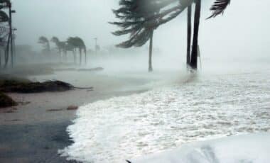
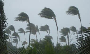
Southeasterly winds averaging 50 to 70 km/h and gusts up to 100 km/h are expected to impact coastal areas, particularly the Hunter and Mid North Coast. Residents in affected regions have been urged to avoid driving through floodwaters and to plan travel carefully, as disruptions to road and public transport networks are likely.
Hazardous Surf Conditions and Climate Change Impacts Highlighted
Alongside flood concerns, the Bureau of Meteorology has issued hazardous surf warnings for the NSW coast stretching from Sydney to Port Macquarie.
Wind gusts of up to 80 km/h are forecast to generate powerful waves, increasing the risk of coastal erosion. Meteorologists have described the surf conditions as “treacherous,” advising against fishing, swimming, boating, and surfing during this period.
New South Wales Premier Chris Minns acknowledged the severity of the upcoming weather, noting that such extreme events are becoming more frequent due to climate change. He emphasised the need for swift and effective responses to mitigate the impacts of these events on communities.
Despite occasional breaks of sunshine expected during the week, consistent showers and strong winds will maintain a cool and unsettled atmosphere. Authorities continue to monitor the situation closely, with up-to-date warnings available through the NSW SES website.