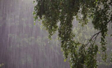
Australia’s East Coast is currently experiencing a period of intense weather, with millions of residents waking up to grey skies and heavy rainfall. A low-pressure system has developed over the region, causing significant disruption. Meteorologists predict the stormy conditions could persist, affecting various parts of the coast.
According to MSN, the worst of the weather is expected to hit in the coming days, with heavy rainfall, strong winds, and possible flooding. Here’s an overview of the current situation and the forecast for the next few days, along with specific regional impacts across Australia’s East Coast.
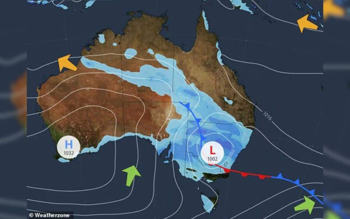
A Low-Pressure System Causes Chaos
The weather troubles started earlier this week when a low-pressure system formed over South Australia. Moving eastward, the system blanketed Australia’s East Coast and triggered extreme weather conditions.
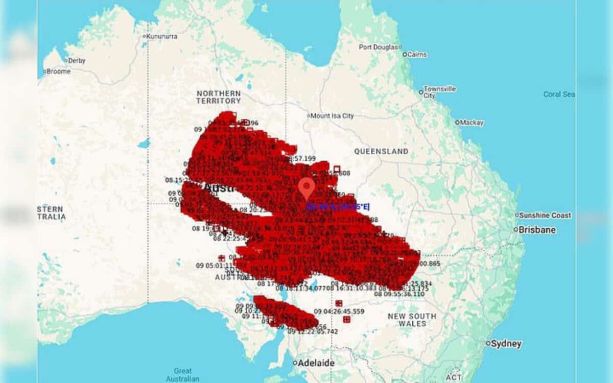
On Tuesday night, areas like Mudgee and Orange received substantial rainfall, with totals of 60 mm and 53 mm respectively. Along with the rain, strong wind gusts of up to 90 km/h compounded the situation, making conditions even more dangerous.
As meteorologists explained, the low-pressure system is the key driver behind the ongoing heavy rain.
This is a complex weather pattern that tends to get more intense as it moves closer to the coast – said Angus Hines, Senior Meteorologist at the Bureau of Meteorology.
And it’s true—what started as a mild disturbance has escalated into a full-fledged weather event that has brought gale warnings and hazardous conditions for many parts of the coast.
What to Expect in the Coming Days
By Thursday morning, the low-pressure system is expected to move offshore, but the weather isn’t expected to clear up just yet. In fact, conditions will continue to worsen until then, with heavy rainfall and possible flash flooding in certain areas. Sydney is expected to experience thunderstorms, hail, and sustained winds ranging from 60 km/h to 90 km/h on Wednesday. The system will bring rainfall totals between 30 mm and 60 mm across the city.
In addition to heavy rain, the region is also experiencing hazardous surf conditions. A hazardous surf warning has been issued for the coastline, with erratic wave sets and choppy waters, which could make beach activities or boating risky.
It’s not looking to be the worst of the year, but still bad enough to think twice about getting out on the boat or any sort of watercraft – said Hines.
For anyone planning to be on the water, it might be wise to reconsider, as conditions are expected to remain unpredictable for the next few days.
Weather Forecast for Major Cities:
- Perth:
Thursday: Sunny, Min 7°C, Max 23°C
Friday: Mostly sunny, Min 11°C, Max 26°C
Saturday: Showers, Min 13°C, Max 22°C - Adelaide:
Thursday: Shower or two, Min 9°C, Max 16°C
Friday: Partly cloudy, Min 7°C, Max 16°C
Saturday: Mostly sunny, Min 7°C, Max 19°C - Melbourne:
Thursday: Showers, Min 9°C, Max 15°C
Friday: Shower or two, Min 8°C, Max 17°C
Saturday: Cloudy, Min 9°C, Max 18°C - Hobart:
Thursday: Cloudy, Min 5°C, Max 15°C
Friday: Partly cloudy, Min 8°C, Max 16°C
Saturday: Cloudy, Min 9°C, Max 16°C - Canberra:
Thursday: Showers easing, Min 3°C, Max 14°C
Friday: Morning frost, Partly cloudy, Min 1°C, Max 17°C
Saturday: Mostly sunny, Min 1°C, Max 18°C - Sydney:
Thursday: Rain easing, Min 10°C, Max 17°C
Friday: Partly cloudy, Min 10°C, Max 19°C
Saturday: Sunny, Min 10°C, Max 21°C - Brisbane:
Thursday: Sunny, Min 15°C, Max 24°C
Friday: Partly cloudy, Min 11°C, Max 24°C
Saturday: Possible shower, Min 12°C, Max 23°C - Darwin:
Thursday: Shower or two, Min 23°C, Max 33°C
Friday: Mostly sunny, Min 23°C, Max 35°C
Saturday: Mostly sunny, Min 22°C, Max 35°C - Alice Springs:
Thursday: Sunny, Min 5°C, Max 21°C
Friday: Sunny, Min 5°C, Max 20°C
Saturday: Sunny, Min 5°C, Max 22°C
Wider Impact Across the Region
While NSW bears the brunt of this storm, neighbouring regions like Queensland and Victoria are also feeling the effects. In Victoria, parts of the Murray and northeastern ranges will see heavy showers, while Queensland is expecting a band of rain and isolated thunderstorms, particularly across inland areas. Southeast Queensland is already preparing for the low-pressure system to make landfall later this week.
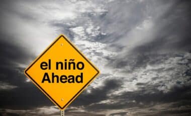
This weather event is not just a short-lived storm but could be an indicator of a wetter-than-usual spring. In fact, long-term forecasts suggest Australia’s East Coast will experience rainfall totals much higher than usual.
Areas around Sydney, which typically receive 200 mm to 300 mm of rain during the spring months, are now expected to see between 300 mm and 500 mm of rainfall this year. This significant increase in precipitation signals that the East Coast could face a much wetter and more challenging season ahead.
What Can You Do to Prepare?
For those in affected areas, it’s essential to stay informed and take necessary precautions. Ensure that your property is prepared for potential flash flooding, and avoid unnecessary travel in conditions where visibility is poor.
The key is staying updated on the latest weather warnings and being ready to act should conditions worsen.
The storm may be short-lived, but the overall season looks like it could be challenging. It’s a reminder that we can’t always predict what nature has in store, so it’s best to be ready for anything. Stay safe, stay informed, and be cautious around the water.