A major low pressure system moving eastward is forecast to affect every state and territory in Australia, delivering days of rain, snow, and thunderstorms. The system, forming from the convergence of polar cold fronts and tropical moisture, has already disrupted parts of the country and is expected to expand its reach over the coming 72 hours.
This weather event follows prolonged dry conditions in several agricultural zones, with meteorologists pointing to potential rainfall relief for drought-affected areas. The unusual breadth and intensity of the system has prompted forecasts of significant precipitation across inland and coastal regions alike.
Wet Weather to Spread Nationwide by The Weekend
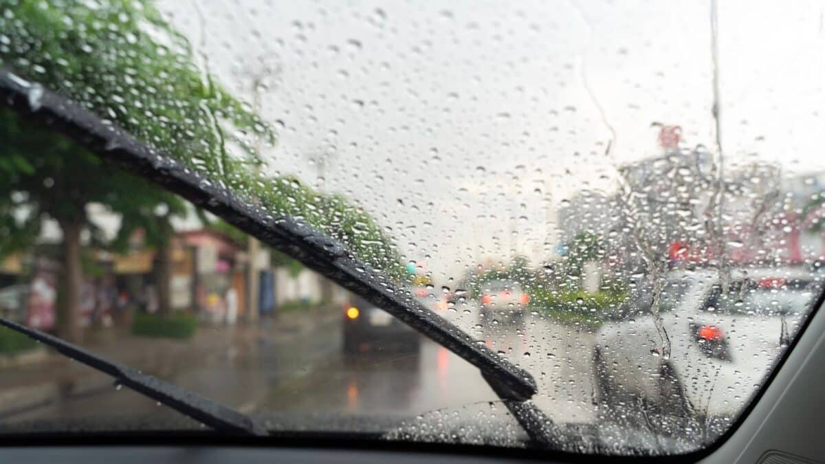
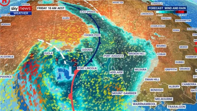
The current system began impacting Western Australia on Thursday and is moving eastward rapidly. Rain is expected to reach the Northern Territory and South Australia by Friday morning, before extending into the eastern states by early Saturday.
Sky News Australia meteorologist Alison Osborne said the system is expected to deliver “widespread persistent rain,” including in regions of South Australia that have seen minimal rainfall throughout the year. Some locations in the state may receive up to 50 mm, potentially doubling their cumulative total for the first half of 2024.
Snow and Thunderstorms Forecast for Southern and Eastern States
As the front reaches the south-east, Victoria is forecast to receive snow in addition to rain, with cold air moving across the Great Dividing Range and higher elevations. Rainfall will spread to Tasmania soon after, following the trajectory of the cold front.
Eastern and northern New South Wales will experience showers, while Queensland is expected to face a line of thunderstorms reaching south-east regions by Saturday night. Osborne noted that the moisture-laden cloud band associated with this system may extend up to 3,000 kilometers, intensifying the volume and reach of precipitation.

South-east Queensland Hit by Early Storms
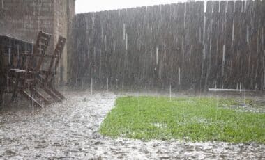
On Wednesday afternoon, south-east Queensland endured an early phase of the system with severe thunderstorms and intense rainfall. Suburbs around Brisbane and Ipswich recorded between 30 mm and 50 mm of rain within hours.
Brisbane Airport was significantly affected, with at least 35 flight cancellations reported due to storm-related disruptions. High winds damaged fencing and downed large branches across several locations. The Bureau of Meteorology confirmed that most of the storm activity had ceased by 9 pm, but residual impacts continued into Thursday.

Additional Weather System Developing Next Week
Meteorological forecasts indicate a second low pressure system is likely to develop over Western Australia on Monday. This new system is expected to bring another wave of rain before tracking east by Wednesday.
Although lighter than the current system, Osborne said the incoming front will provide a “top-up” of rainfall, especially in areas still experiencing below-average moisture levels. Details on expected totals remain uncertain, but preliminary models suggest light to moderate falls across interior and eastern regions.