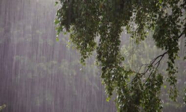
A major weather event is set to hit New South Wales this Friday, with severe thunderstorms forecast to batter large portions of the state. A combination of intense weather systems, including a cold front and an upper-level trough, will generate hazardous conditions, bringing the risk of damaging winds, large hail, and heavy rainfall.
As the storms develop over the course of the day, residents in affected areas are urged to stay vigilant and monitor official weather warnings. This could prove to be one of the most significant storm outbreaks of the 2025/26 season, with potentially dangerous weather impacts for both urban and rural communities across NSW.
Thunderstorms to Intensify Across NSW
According to the Bureau of Meteorology, the conditions on Friday are ripe for severe thunderstorms. A cold front moving through the state will bring a clash of cooler and warmer air masses, which is expected to destabilise the atmosphere. This, combined with an upper-level trough, will provide the perfect setup for storm formation, particularly in central and northeastern NSW.
While early Friday morning may see isolated showers and storms in the southern and western parts of the state, the main storm activity is expected to build by midday. Central areas, including Sydney, will experience a hot and dry morning, with temperatures reaching 32°C in the afternoon, before the thunderstorms break out. As the storms develop, residents can expect a rapid drop in temperature and the possibility of severe conditions.
Sydney, in particular, is likely to face strong gusts of wind, heavy hail, and intense rain, although rainfall-related flooding is considered a lesser risk. Severe thunderstorm warnings will be issued throughout the day, especially in the late afternoon and evening when conditions are expected to worsen.
Potential Hazards: Winds, Hail, and Supercells
While heavy rain is not expected to pose a significant threat, damaging winds and large hail are the primary concerns. According to senior meteorologist Angus Hines, the storms could bring wind gusts exceeding 125 km/h, along with hailstones larger than 5cm in diameter. In some areas, isolated supercell thunderstorms may form, further intensifying the risk of destructive weather.
The storm front is forecast to affect Sydney and extend as far north as Port Macquarie, including key areas such as the Central Coast, Hunter Valley, and Newcastle. Residents should prepare for rapidly changing weather conditions, with temperatures dropping by as much as 10°C within an hour of the storms hitting.
As the most prominent storm outbreak of the season so far, this event is expected to have widespread impacts, affecting both urban centres and rural areas. With weather warnings in place, residents across NSW should stay informed and take precautions to ensure their safety.