Just days ahead of summer, La Niña has been officially declared by the Bureau of Meteorology, adding a twist to the weather outlook for Australia. While La Niña typically signals increased rainfall and storm activity, this year’s event is expected to be much weaker and short-lived. Still, it’s a reminder that the unpredictable Australian climate never stays the same for long.
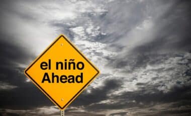
What Is La Niña, Exactly?
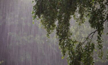
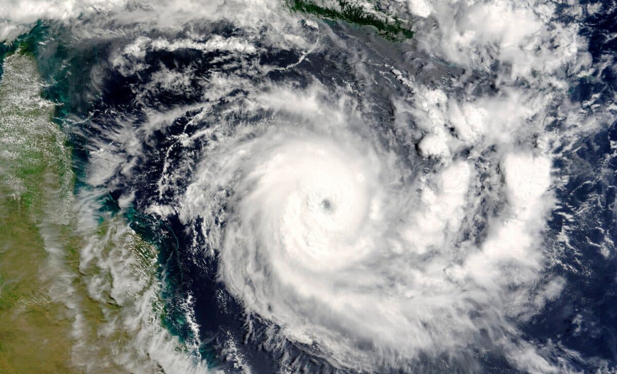
La Niña is one phase of the El Niño–Southern Oscillation, a natural climate phenomenon that affects global weather patterns. It happens when the Pacific Ocean’s trade winds pick up, causing cooler-than-usual waters in the central and eastern Pacific. In Australia, this usually results in wetter conditions, particularly for the east coast, with an increased chance of cyclones, storms, and intense rainfall. It’s the opposite of El Niño, which leads to dry conditions and an elevated risk of bushfires.
However, La Niña isn’t always the same year to year. Sometimes it’s a big event, like the one in 2020, and other times it’s relatively mild, reminds 9News. In 2025, the Bureau of Meteorology has noted that while the signs of La Niña are clear, the intensity is expected to be lower than previous years.
This Year’s La Niña: A Weak and Short-Lived Event
Meteorologists have observed conditions consistent with La Niña since early October, and the Bureau confirmed it on November 28. According to the Bureau, the atmospheric indicators, including trade winds and pressure patterns, all suggest the presence of La Niña in the Pacific. However, this year’s La Niña is expected to be weaker than usual. It won’t have as much of an impact as previous events, and by early 2026, conditions are forecast to return to neutral.
One of the factors contributing to this weaker La Niña is the negative Southern Annular Mode (SAM). Since October, SAM has caused strong westerly winds over Australia, which typically counteracts the influence of La Niña’s easterly winds. So, despite the La Niña conditions, the weather isn’t expected to be as disruptive as in previous years.
What Does This Mean for Australia?
Even though La Niña is weaker this time, some impacts are still expected, particularly for the eastern parts of the country. With warmer-than-average sea temperatures in the region, there’s still potential for heavier rainfall, storms, and cyclones, especially from December through February. But, for much of the country, meteorologists expect below-average rainfall overall, with abnormally warm days for summer.
In short, this La Niña is likely to cause a few disruptions, but it won’t be the intense event we’ve seen in past years. Australians can expect a mix of conditions—wet in some areas, dry in others, and a bit of a rollercoaster ride overall.
Weathering the Climate
The back-and-forth of El Niño and La Niña events is a regular feature of Australia’s climate, and this year’s relatively weak La Niña serves as a reminder that the weather is never predictable. It’s a good time to stay prepared for whatever comes next, as the Southern Hemisphere’s weather patterns remain in constant flux. If nothing else, this year’s event shows that while La Niña may not be as dramatic, it’s still a force to be reckoned with.