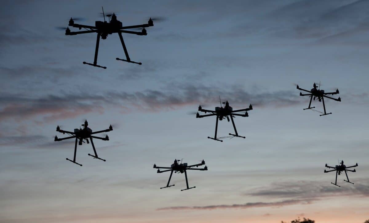
Imagine getting a letter from your insurance company, demanding you replace your roof or lose coverage—without anyone ever stepping foot on your property. This is becoming a reality for homeowners as insurers increasingly rely on drones and aerial images to assess properties. It’s a growing trend in the insurance industry, both in the US and Australia, that’s sparking concern about privacy, fairness, and transparency.
Why Are Insurers Using Drones?
You might be wondering, “Why drones?” Well, the technology allows insurance companies to quickly and efficiently inspect homes, especially after extreme weather events. This has proven to be a game-changer in terms of speeding up claims and cutting costs. In addition to assessing damage from disasters like bushfires or floods, insurers are using drones to check for smaller maintenance issues that might pose a higher risk—things like cracked roofs, overgrown tree branches, or peeling paint.
Take the case of Linda Bennett, a homeowner in California, who received a shock letter from State Farm demanding she replace her roof based on what appeared to be drone imagery, reports Realestate. No one had inspected the roof in person, but the company had evaluated it remotely through aerial photos. For Bennett, this was a big surprise, as she felt the roof was in perfectly good condition. She wasn’t alone—many homeowners are reporting similar experiences.
The Growing Trend in Australia
In Australia, this trend is gaining traction as insurance companies adopt drone technology for property checks. From Sydney’s bushfire-prone areas to Queensland’s flood zones, drones are now used to assess homes both during routine inspections and after extreme weather. In fact, Australian insurers have started to use aerial imagery not just for post-disaster assessments, but to determine whether a property is too risky to insure in the first place.
As drone technology becomes more widely used, it’s raising concerns about its long-term impact. Homeowners might find themselves being penalized for minor maintenance issues they weren’t even aware of. Worse, insurers could use these photos to adjust policies or even deny coverage for homes with certain risk factors.
What Does This Mean for Homeowners?
The implications of this shift are significant. Homeowners in high-risk areas, like those near bushfire-prone forests or coastal regions vulnerable to flooding, may struggle to find affordable insurance. If a home is deemed too risky based on drone assessments, its market value could drop, making it harder to sell. On top of that, homeowners are now under pressure to stay on top of every minor issue that could affect their insurance.
This trend is forcing homeowners to be more vigilant than ever about maintenance. Even something as small as a few loose tiles on the roof or tree limbs hanging too close could trigger a warning or result in a policy change.