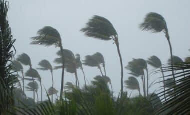
Australia’s ski resorts are preparing for a major shift in weather, with heavy snowfall expected in the coming days. After a week marked by a mixture of rain and snow, the alpine regions are poised to experience substantial accumulations, just in time for the school holidays in southern states. This change in weather will bring much-needed conditions to the resorts, improving opportunities for skiing and snowboarding.
The past few days have been characterized by a combination of wet weather and mild temperatures, caused by an East Coast Low that brought warm, moist air from the Coral Sea. This system disrupted the usual conditions for winter sports, particularly at lower elevations. However, the forecast suggests that conditions will change dramatically as colder air moves into the region.
The Impact of The East Coast Low
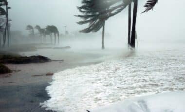
Earlier this week, an East Coast Low brought heavy rain and strong winds to coastal New South Wales (NSW) and eastern Victoria, while also dragging warm air into the alpine areas. The mix of warm temperatures and precipitation meant that while higher elevations saw some flakes, the majority of the precipitation at lower altitudes was in the form of rain. This unusual weather pattern left many resorts with less of the white stuff than expected, despite the ongoing winter season.
At Charlotte Pass, Australia’s highest ski resort, the wet conditions led to exposed rocks by July 4. Similarly, Victoria’s Mt Baw Baw ski resort, which sits at a lower elevation, saw 127.2mm of precipitation between July 1 and July 3, but the temperatures rarely dipped low enough to maintain consistent snowfall.
After a week which featured a mix of rain and snow in Australia’s ski resorts, heavy #snow is likely in the second week of July, just in time for school holidays in the southern states.https://t.co/GFmeNRaR8S
— Weatherzone (@weatherzone) July 4, 2025
Looking Ahead: A Shift to Colder Weather
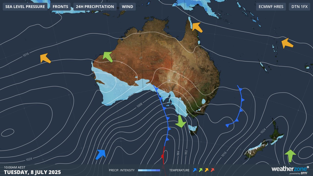
The weather outlook for the second week of July shows a sharp shift toward colder conditions. Starting July 8, westerly winds will push colder polar air across southern Australia. This is expected to bring a more typical winter pattern, with snow at all elevations across the alpine region. A strong cold front will bring snowfalls, and by mid-week, its accumulations of up to 70 cm could be possible in some areas, including popular ski resorts like Perisher and Thredbo.
While the early part of the week may see light flurries, the forecast predicts that blizzard conditions will set in by July 10. This will provide much-needed coverage for the ski resorts, particularly those at higher elevations, which have been hit hardest by the unseasonably warm weather.
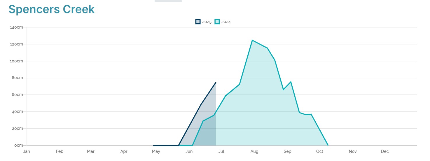
Snow Depth Trends for The 2025 Season
The 2025 season began promisingly, with significant falls over the June long weekend. A second major event took place in mid-June, but the mixed weather of the past week has reduced coverage. The latest Snowy Hydro data from Spencers Creek, located between the NSW ski resorts of Perisher and Thredbo, shows that the depth on June 26 was 74.9 cm. Given the week’s mix of rain and snow, this figure has likely decreased slightly since then.
Despite the recent challenges, the overall depth trend for 2025 remains similar to last year’s figures. The snowpack at this stage isn’t as deep as last year’s peak, but conditions are expected to improve significantly next week. If the current weather patterns hold, the depth could exceed the 124.6 cm recorded at the peak of the 2024 season.
With school holidays approaching in southern states, ski resorts are preparing for an influx of visitors. The anticipated snowfall will likely boost tourism to the region, benefiting the ski industry, which has faced mixed conditions throughout June and early July. Resort operators are optimistic that the upcoming snow will provide a solid base for the remainder of the season.