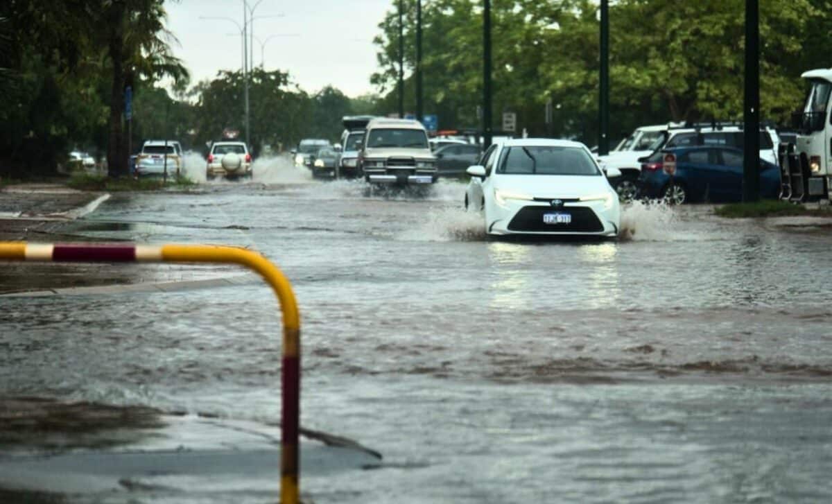
The Bureau of Meteorology (BOM) has warned of the potential formation of multiple tropical cyclones across northern Australia in the coming days. Forecasts indicate that up to five tropical lows could develop, with four having at least a moderate chance of intensifying into cyclones. This rare surge in tropical activity marks a delayed yet significant phase of the monsoon season.
Five Tropical Systems in Development
According to the BOM’s seven-day cyclone forecast, the systems are positioned across several regions:
- Two near Western Australia’s northern coastline
- One in the Gulf of Carpentaria, between the Northern Territory and Far North Queensland
- One off the coast of Cairns
- One further east in the Coral Sea
While not all tropical lows develop into full-fledged cyclones, they are still capable of producing strong winds and heavy rainfall, leading to potential flooding and hazardous conditions.

Cyclone Potential Remains Uncertain
Meteorologist Jonathan How noted that it is uncommon to observe so many simultaneous tropical systems in the Australian region.
“Sometimes you do see two or three systems in an active period, and we have had instances of two tropical cyclones at the same time,” he said. “But seeing five tropical lows is unusual.”
Despite the forecasted activity, uncertainty remains regarding how many of these systems will develop into cyclones and whether any will make landfall.
Tropical Low near Cairns Most Likely to Impact the Coast
Among the five systems, the one located near Cairns is the first to be classified as a tropical low and has the highest likelihood of impacting the coast.
Current forecasts indicate a low chance of it becoming a cyclone on Thursday and Friday, but this probability increases to 25% (moderate chance) by Saturday and Sunday. The system is expected to shift further offshore, where warmer waters and reduced land interaction could fuel its development.
Regardless of cyclone formation, heavy rainfall is expected across Queensland’s north-east tropical coast, from Townsville to Port Douglas, over the weekend.
“Even if it doesn’t reach cyclone strength, Queenslanders should monitor forecasts closely due to the potential for flooding,” Mr How advised.
The region has already experienced significant rainfall, with 200-300mm recorded along the Cairns coastline and down to Ingham and Cardwell earlier this week. As a result, flood warnings are in place for the Mulgrave River, Russell River, and Tully River.
Gulf of Carpentaria System Adds Complexity
Another system of concern is the one forecast to form in the Gulf of Carpentaria by Friday.
This system has a moderate chance of becoming a cyclone between Sunday and Monday, but its development is uncertain due to potential interactions with the Cairns system.
Mr How described this as a complex meteorological scenario, where one system could strengthen at the expense of the other. Additionally, the shallow waters and surrounding coastlines in the Gulf can influence storm behavior, making its trajectory more unpredictable.
If it develops, this system could bring heavy rainfall to Queensland’s north-western areas and the Gulf Coast later in the weekend.

Three Other Systems Unlikely to Impact Mainland Australia
The remaining three tropical systems—two near Western Australia’s Kimberley region and one in the Coral Sea—are expected to move away from the Australian mainland due to steering winds.
While they pose no immediate threat to Australia, the system in the Coral Sea could potentially impact New Caledonia or Vanuatu next week.
Delayed Monsoon Onset for Darwin
The surge in tropical activity follows a historically late monsoon onset for northern Australia.
The monsoon, a seasonal shift in wind patterns bringing widespread heavy rains, typically provides relief from intense humidity in the Northern Territory’s Top End. However, Darwin has endured months of oppressive conditions, marking the latest monsoon onset on record since data collection began in 1957-58.
While it has yet to officially begin, forecasts suggest the monsoon could develop over Darwin by Friday.