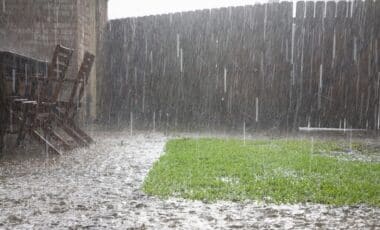
Australia is set to experience a wetter-than-usual spring across much of its eastern half, with warmer conditions dominating both northern and southern regions. According to the Bureau of Meteorology (BoM), these patterns are driven by record sea surface temperatures and climate phenomena in the Indian Ocean.
The seasonal outlook, released by the BoM, links persistently warm ocean waters and a developing negative Indian Ocean Dipole (IOD) to the increased rainfall and storm potential. Meanwhile, the risk of bushfires is rising in regions where previous heavy rainfall has led to higher fuel loads.
Eastern and Southern Regions Likely to See Increased Rainfall and Warmer Nights
According to Zhi-Weng Chua, senior climatologist at the BoM, above-average spring rainfall is expected across New South Wales, Victoria, Queensland, and the Northern Territory, particularly in the early part of the season. In New South Wales and the ACT, heavier rainfall is forecast in the north-west, with daytime temperatures expected to be cooler in the north but warmer along the coast and in southern parts. Nights across the state are likely to be warmer than usual.
Victoria is also set for a wetter-than-average season, except in the eastern regions, where rainfall could range between 100 and 300mm, and in some areas up to 400mm, according to the BoM. Both daytime and nighttime temperatures are expected to be higher across the state.
In Queensland, inland and north-eastern areas are forecast to receive significant rainfall, with some coastal and northern regions likely to exceed 200mm. Meanwhile, southern parts may see only 25 to 50mm. Temperatures are projected to be warmer during the day, with especially warm nights in the north.
South Australia will also see above-average rainfall in many areas, especially in the south-east, with seasonal totals ranging between 50 and 400mm. Nights are likely to remain warmer across most of the state. Tasmania is forecast to be wetter in the east but drier in the south-west, with rainfall ranging from 400 to 1,200mm in eastern regions.
Fire Risk Increases in Western and South-Eastern Australia Due to Vegetation Growth
While wetter conditions reduce fire risk in some areas, they can also exacerbate hazards where dense vegetation has developed. According to the Australasian Fire Authorities Council, the Dampier Peninsula, Derby Coast, and areas of the Kimberley and Pilbara in Western Australia face a heightened bushfire threat due to increased fuel loads from previous rains.
Additional fire risk zones include south-eastern South Australia and south-western Victoria, where dry periods may coincide with warm temperatures and windy conditions. In Western Australia, rainfall is likely to remain below average in central and south-western parts, with totals around 100 to 200mm. Despite this, daytime temperatures are forecast to rise, particularly in northern and western regions.
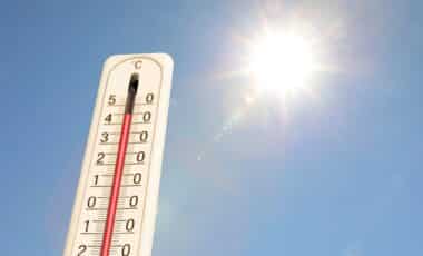
The BoM attributes much of the spring forecast to unusually warm sea surface temperatures, with July 2025 marking the hottest recorded since 1900, measuring 0.56°C above average. These conditions, combined with a developing negative IOD, typically result in wetter weather in southern and eastern Australia. Although the El Niño–Southern Oscillation remains neutral, some models suggest a trend towards La Niña-like conditions as the season progresses.