Australia’s southeast is gearing up for a significant weather event this Friday, as a high-pressure system sets the stage for freezing temperatures and widespread frost. The cold snap, which will affect several parts of the region, is expected to bring clear skies but plummeting temperatures that could cause severe frost in some areas. These conditions are expected to last through Friday morning, impacting daily life and potentially affecting agricultural activities.
The Bureau of Meteorology (BOM) has issued warnings for multiple districts, urging residents to prepare for sub-zero temperatures. As cold weather sweeps across Victoria, residents can expect temperatures to dip to -1°C, particularly in rural areas. The weather event is likely to cause significant disruptions, particularly for those living in frost-prone zones.
Freezing Temperatures and Frost Warnings for Victoria
Victoria is expected to experience some of the most severe frost conditions in the southeast. According to Sky News Weather Presenter Emma Wightman, temperatures across parts of Victoria will drop to around -1°C. The clear skies that are predicted for Friday will exacerbate the freezing conditions, leading to widespread frost throughout the state.
The Bureau of Meteorology has issued a frost warning for several regions in Victoria, including the Mallee, Wimmera, Northern Country, North Central, North East, South West, Central, West, and South Gippsland. BOM has advised residents to be aware of the sharp contrast between recorded temperatures and ground-level readings, which may be even colder, especially under clear skies with calm conditions.
Perth Enjoys Clear Skies After Storms and Heavy Rain
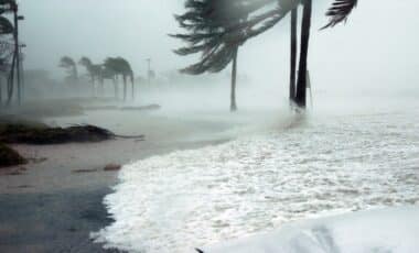
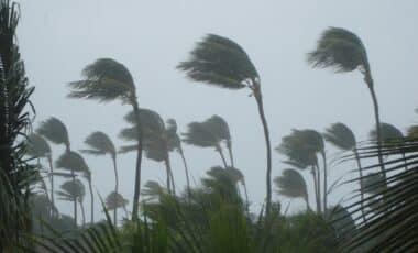
In contrast to the freezing temperatures in the southeast, Perth will experience clear skies on Friday following a day of intense storms and heavy rainfall on Thursday. Storms across Western Australia delivered much-needed rain, with Bunbury receiving 70mm and Busselton recording 89mm of downpour. Despite a broken rain gauge in Perth, estimates suggest that the city received around 50mm of rain.
While conditions are expected to clear in Perth by Friday, onshore winds may continue to bring showers to the southern coast of Western Australia. These weather patterns will provide some relief to drought-affected areas, but may also create additional challenges for the region’s coastal areas.

Weather Across Other Major Cities
The weather across other parts of Australia will also vary as the high-pressure system affects different regions. In Adelaide and Perth, partly cloudy skies are expected, with highs of 19°C. Melbourne and Hobart will face cooler temperatures in the mid-teens, while Canberra will experience a chilly start with lows of -2°C and a daytime high of 12°C. Sydney’s weather will remain cool, with highs reaching 18°C, and Brisbane is forecast to enjoy sunny and clear conditions, with a high of 21°C.
On the other hand, Darwin is expected to remain warm, with temperatures around 29°C and some cloud cover. The variation in temperatures highlights the diverse weather conditions brought about by the high-pressure system sweeping across the country.

Potential Impact on Agriculture and Daily Life
The frost and freezing temperatures expected in the southeast could have significant impacts on agriculture, particularly in areas where crops are vulnerable to frost. Warnings from BOM suggest that temperatures at ground level could be many degrees lower than those recorded by weather stations, heightening the risk for agricultural damage.
Residents in affected areas should prepare for a potentially disruptive Friday morning. Those in rural regions may face travel disruptions due to icy conditions, and agricultural workers will need to take precautions to safeguard their crops from frost damage.