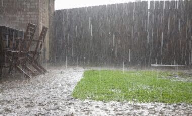
Central Australia is in for a wild weekend as heavy rain and potential flooding loom over vast regions of the Northern Territory (NT) and South Australia (SA). The Australian Bureau of Meteorology is warning that up to 300mm of rain could fall in some areas, potentially cutting off road and rail links. As the weather system moves in, it’s important for residents and travelers to be prepared. Here’s what you need to know.
What to Expect from the Weather System
This weekend, large areas of the NT and SA are expected to experience a deluge of rain, with some regions receiving rainfall amounts up to 200mm, reports 9News. The hardest-hit areas are forecasted to be around Tennant Creek in the NT, as well as parts of the Simpson Desert. However, weather models are still uncertain about the exact path the heavy rain will take, with some suggesting that the Carpentaria region further north may bear the brunt of the downpour.
The wet conditions are not expected to let up quickly. According to weather experts, the rain will continue into early next week, with moisture moving southward towards Alice Springs and Uluru. As this tropical moisture tracks across the country, it will bring with it a high chance of flooding, particularly in the northern pastoral regions of SA. The vast, flat terrain of this area makes it especially vulnerable to flash floods, which could have serious implications for infrastructure.
Kati Thanda-Lake Eyre Could See Rare Inflows
One of the most interesting aspects of this storm is the potential impact on Kati Thanda-Lake Eyre, the country’s largest salt flat. The lake, which can span 9,500 square kilometers when full, is expected to receive between 100mm and 300mm of rain. This could trigger rare inflows from its southern tributaries, something that hasn’t occurred in years. While it’s unclear how much of the lake will fill up, any significant amount of water would be a sight to behold, especially in such an arid region.
The Road to Recovery: What’s at Risk
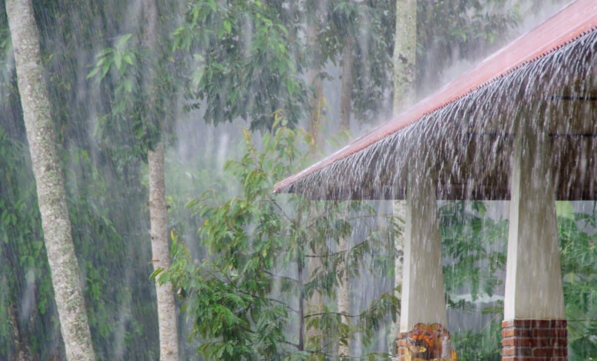
As much as the rain could provide a stunning visual effect, it also poses real risks. Flash floods are the biggest concern, and authorities are urging residents in flood-prone areas to stay informed about road conditions and weather updates. While the rain may be a blessing for the drought-ridden regions, it also has the potential to disrupt communities, particularly in remote areas that rely on roads and rail links for access.
The impact of the heavy rain is also being felt in Western Australia and Queensland, where floods have already started to affect regions. The unpredictability of the weather system only adds to the urgency of staying updated and taking necessary precautions.
A Final Word of Caution
Although it’s tempting to see the arrival of a big storm as something exciting or dramatic, the reality is that these weather events bring risks that shouldn’t be ignored. The forecasted downpours and the potential for flooding could change lives for those in the affected regions. With parts of Central Australia already struggling to cope with the challenges of distance and sparse infrastructure, this deluge could present a serious logistical challenge in the coming days. Keep an eye on local reports, stay safe, and check conditions before heading out on the roads.