Eyes are on the skies across Australia’s Northern Territory this week. Heavy rain is on the way, and in some places, it’s already started falling. Warnings are up, and communities are watching the forecasts closely.
A Tropical Low That Won’t Budge
A tropical low-pressure system is sitting over central NT, parked stubbornly over the eastern Gregory district. It isn’t in a rush to go anywhere. Forecasters expect it to start inching westward on Tuesday or Wednesday, but in the meantime, it’s fueling monsoonal rainfall across wide areas.
This isn’t a cyclone—yet—but it’s behaving like one in parts: dumping rain in large volumes and threatening to overwhelm catchments that are already close to saturation, explains 9News.
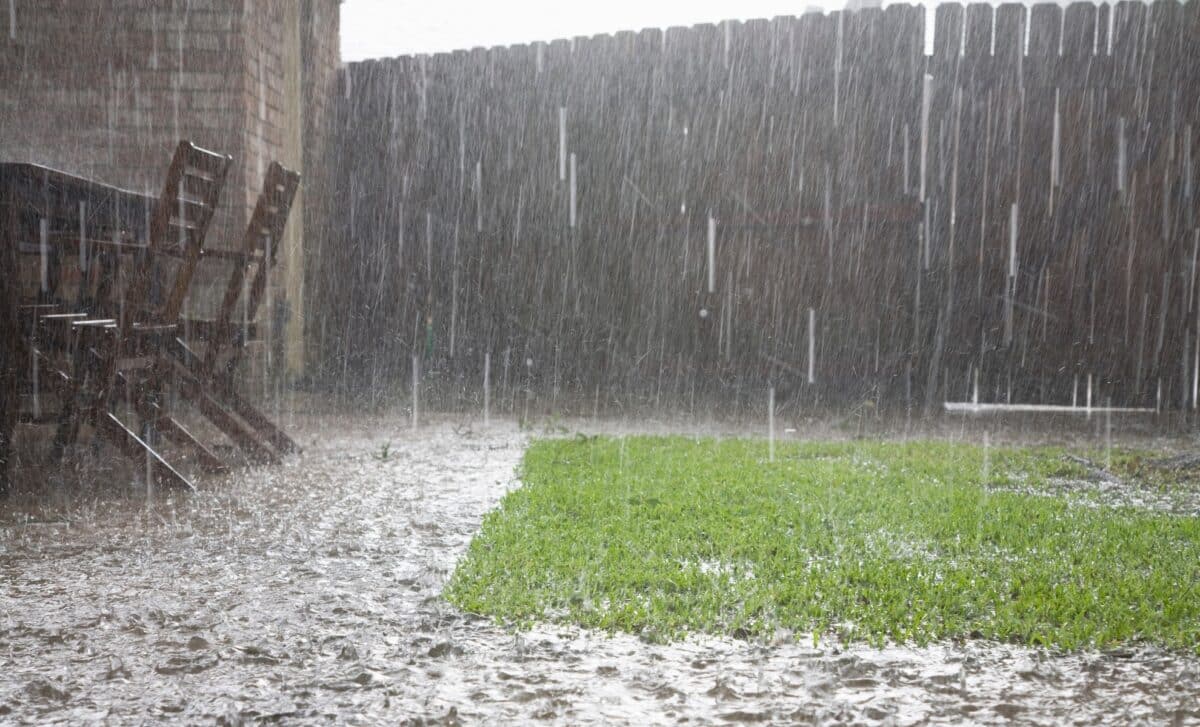
Serious Rainfall Already Recorded
It’s not just about forecasts anymore—183 mm of rain was recorded at Gilnockie in just 24 hours. The Bureau of Meteorology warns of six-hour totals between 80 and 100 mm, with possible local spikes up to 120 mm in certain districts.
The most at-risk areas include Elliott, Kalkarindji, Lajamanu, Daly Waters, Top Springs, and Daguragu. Locals are urged to stay updated via the Secure NT website, where real-time alerts and recommendations are being posted.
Flash Flooding and Road Closures Already a Concern
In some areas, the ground simply can’t take any more. With rain still falling, flash floods are a real danger—roads can wash out, access to communities can get cut off, and conditions can change quickly, often with little warning. For many locals, it’s familiar territory, but that doesn’t make it easier to deal with.
Authorities are reminding residents not to drive through floodwaters—a message repeated often, but not always followed.
Cyclone Potential Still on the Table
While the system isn’t a cyclone, there’s a growing chance it could develop into one. According to Weatherzone, the tropical low (designated 21U) might move offshore to the north of Pilbara, where conditions are more favorable for cyclone formation.
At this point, it’s something to watch, not panic about. But as anyone in the Top End knows, these systems don’t always play by the book.
Ongoing Caution Advised
Rainfall is expected to ease by Wednesday morning, but that doesn’t mean the risk disappears immediately. Flash flooding can linger, and isolated heavy showers might still hit certain regions.
The advice? Stay cautious, check official updates, and keep emergency plans ready. The Territory’s no stranger to wild weather—but preparation still matters.