A new tropical system has formed off the coast of Western Australia, marking the first significant storm of the summer. Authorities are watching closely as Tropical Cyclone Hayley strengthens over warm waters in the Indian Ocean.
Weather Bureau Tracks Developing Cyclone
The Bureau of Meteorology (BOM) has confirmed that Tropical Cyclone Hayley developed late on Sunday north of the Pilbara region. The system began as a low-pressure trough before intensifying as it moved westward into open waters.
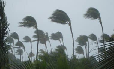
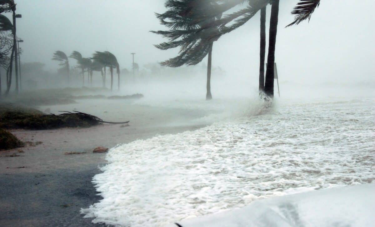
At this stage, Hayley remains well offshore, but meteorologists are closely monitoring its path as conditions appear favourable for further development. The cyclone is currently classified as a Category 1 system, with sustained winds near 75 kilometres per hour and gusts reaching up to 100 kilometres per hour.
Forecasters expect Hayley to track south-west over the coming days, moving away from the coast. However, the system’s outer bands could still bring heavy rainfall and rough seas to parts of the Pilbara and Gascoyne coasts.
Western Australia on Alert
Emergency authorities have issued warnings for coastal residents to stay informed as the cyclone season intensifies. Local councils are advising travellers and fishermen to remain cautious, with possible strong swells and dangerous surf conditions expected through the week.
While Hayley is not expected to make landfall, its formation serves as a reminder of the active tropical weather patterns that typically emerge between December and April each year. The Bureau has already forecast an above-average number of tropical cyclones for the 2025–26 season, with warm sea surface temperatures providing ideal conditions for storm development.
Summer Storms and Climate Conditions
Meteorologists say Hayley’s formation aligns with broader climate patterns affecting the region, reports 9News. A La Niña-like phase has contributed to higher ocean temperatures and increased humidity across northern Australia, heightening the risk of more intense tropical systems in the months ahead.
Last summer saw multiple low-pressure systems bring widespread flooding to parts of Queensland and the Northern Territory. This year, authorities are emphasising preparedness, urging residents in vulnerable areas to keep emergency kits ready and review cyclone safety plans.
Watching the Skies
As Cyclone Hayley moves further offshore, Western Australians are breathing a cautious sigh of relief. But with the season just beginning, experts warn it’s too early to relax. The Bureau will continue issuing updates as the system evolves, with the next advisory expected within 24 hours.
For now, the message is simple — stay alert, stay informed, and don’t underestimate the power of a warm ocean and a brewing sky.