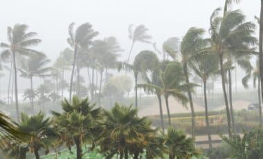
Queensland is waking up to another wet and uncertain Saturday, with the Bureau of Meteorology (BOM) warning that conditions will only get worse over the weekend. Parts of the state are under a flood watch as a major rain event, which began earlier in the week, intensifies today. Already drenched from days of storms, large areas of northern Queensland are bracing for even heavier rain, with flash flooding a real possibility.
Tropical Low Strengthens and Moves South
By Saturday morning, a tropical low embedded in the monsoon trough across northwest Queensland has deepened, and the system is moving slowly southeast. The rain, which has already caused issues in several areas, is expected to ramp up today, leading to widespread showers and thunderstorms. While the heaviest falls are expected by Sunday, the rain will continue throughout Saturday, and some regions may experience isolated heavy bursts.
According to BOM’s senior meteorologist, Felim Hanniffy, this extended rainfall will significantly increase the risk of both flash and river flooding, particularly in areas that have already been soaked by days of storms, reports 7News.
Flood Watch Issued for Multiple Regions
The flood watch now covers large sections of Queensland’s north-western and north-eastern coasts, including towns like Townsville and Ingham, which were devastated by floods less than a year ago. The warning extends inland to areas like Mount Isa and Cloncurry, with the heaviest rainfall predicted to hit coastal regions later in the day. The BOM is monitoring the situation closely, but residents in flood-prone areas are urged to prepare for the worst.
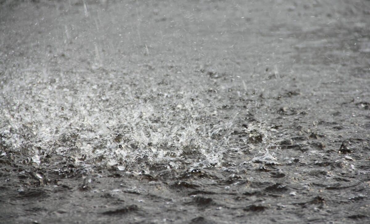
Flash flooding is of particular concern, especially in urban and low-lying areas where drainage systems may struggle to cope with the intense rainfall. The ground is already saturated from previous storms, so even relatively moderate rainfall could lead to dangerous flooding.
Rising River Levels and Dangerous Flooding
As of Saturday morning, river levels are rising in parts of northwest Queensland, with flooding likely to occur in the coming hours. The BOM has warned that by Sunday, rapid and dangerous river level rises could hit the Gulf catchments, as well as the upper parts of the Georgina and Diamantina Rivers. These areas could see intense rainfall that could rapidly overwhelm already swollen rivers, causing flash floods and riverine flooding that could threaten both properties and lives.
Hanniffy noted that while the exact timing and location of the heaviest rainfall remain uncertain, the risk of flooding is high. The combination of the tropical low, deep tropical moisture, and several days of heavy rain means this could turn into a prolonged event.
What Queenslanders Can Expect Today
As we head into Saturday, the rain is expected to continue steadily through the day, with conditions worsening in the late afternoon and evening. Flooding risks will increase, particularly in areas already experiencing heavy downpours. The BOM urges residents in flood-prone zones to stay vigilant and be ready for any sudden changes in conditions.
As the tropical low moves southeast, the rain will become even more widespread by Sunday, potentially causing rapid flooding. Those living near rivers or in low-lying areas should take extra precautions and be prepared to evacuate if necessary. Authorities have already begun issuing evacuation orders in some flood-prone areas, and it’s expected that more warnings will be issued throughout the day as conditions change.