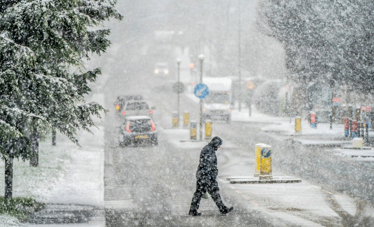
The UK is set to face a prolonged spell of severe snowstorm this weekend, with forecasters predicting up to 57 hours of snowfall in parts of the country. Northern and central England, as well as areas in Scotland and Wales, are expected to see heavy snow, strong winds, and icy conditions. Weather warnings have been issued, with significant disruption anticipated.
Regions Expected To Be Worst Affected
Snow is forecast to begin on Friday evening, affecting northern areas including Newcastle, Hull, Cumbria, Northumberland, and Yorkshire. By Saturday morning, up to 6 cm of snow is expected to have fallen in these areas. On Sunday, gale-force winds of over 100 km/h are predicted to hit the East Coast, including Norfolk, exacerbating already challenging conditions.
Main areas likely to be impacted by the snowstorm:
- Northern England: Up to 6 cm of snow in areas such as Newcastle, Hull, Cumbria, Northumberland, and Yorkshire.
- East coast of England: Winds exceeding 100 km/h, particularly impacting Norfolk.
- Southern England: Rare snowfall expected as far south as Essex and Kent.
Snowfall Spreading Southwards
The snowstorm is expected to extend further south over the weekend, with areas as far south as Essex and Kent likely to experience rare snowfall. Meanwhile, parts of Wales and the west coast of England and Scotland are forecast to see heavy rain rather than snow.
Scotland’s Cairngorms National Park is predicted to see the heaviest snowfall, with over 10 cm expected in some areas. In cities such as Manchester, Birmingham, Leeds, Sheffield, and Gloucester, lighter snowfalls are anticipated, though still sufficient to cause disruption.
Met Office and BBC forecasts
The Met Office has issued yellow weather warnings for icy conditions and strong winds. Their forecast reads: “Turning more unsettled in the coming days with heavy rain and strong winds at times, particularly into the weekend with gales possible.”
A breezy few days are in store, with several yellow weather warnings for wind issued for the coming days ⚠️
The strongest winds will be in the northwest this afternoon, evening and tonight, before the focus shifts slightly further south through Thursday 🌬️ pic.twitter.com/ZtAvuVRfkw
— Met Office (@metoffice) December 4, 2024
BBC Weather reports that “the rain will move into south-east England early tonight, becoming increasingly confined along far south-east parts by dawn.” Thunderstorms are also expected in southern regions, while wintry conditions are likely over higher ground, particularly in northern areas.
Outlook for the Following Week
After the weekend, temperatures are expected to remain below average. The wintry weather is likely to persist into the early part of next week, with blustery showers, icy roads, and further snowfall in some areas. Strong winds may continue to affect coastal regions, prolonging hazardous conditions.
The public is advised to monitor updates from the Met Office and BBC Weather and to prepare for potential disruption to travel and daily activities.
UK 5-Day Weather Forecast : Wednesday 4 Dec–Sunday 8 Dec
Tonight:
- A band of rain moves south-Eastwards overnight, with clearer spells developing behind from the northwest.
- Winds remain strong, particularly in the northwest, but slowly ease overnight.
- Milder than previous nights.
Rain continues to spill eastwards this evening, with heavy downpours in places ☔
A mild evening to come, but becoming increasingly windy, particularly in the north ⚠️ pic.twitter.com/D68OY3yJo2
— Met Office (@metoffice) December 4, 2024
Thursday:
- Rain clearing the south-east through the morning, but remaining cloudy for most of the south.
- Heavy rain moving into the north through the day as winds pick up once again.
Outlook for Friday to Sunday:
- Turning more unsettled into the weekend with heavy rain, particularly on Friday and Saturday, and strong winds with gales possible.
- Mild to start, but turning colder later.


