Britain’s weather patterns appear to be undergoing a drastic change as the country transitions from a mild spring-like aura to the sudden onset of winter chills. This week, the Met Office has issued warnings of a rare climatic event.
Frosty Weather in Scotland
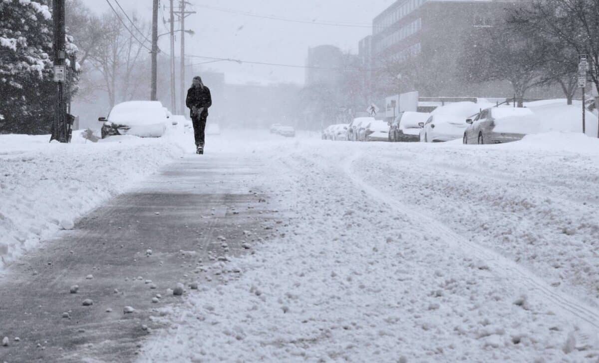
A heavy snowfall is expected to hit Scotland on Tuesday morning, according to WXCharts. Regions such as Argyll and Bute may see accumulations of up to 4 inches per hour, and may soon find themselves under a thick white blanket.
Last week, the country enjoyed sunny weather, heralding the arrival of spring. However, temperatures plummeted over the weekend, recording values of less than 10%.
Lancashire, the Lake District and East Ayrshire in England are bracing for significant snowfall later this evening, with temperatures expected to plummet to a chilly -2C.
Torrential Downpours in Wales, the Midlands and the South Coast
Further south, the weather scenario changes. Wales, the Midlands and the south coast of England will experience heavy downpours this Monday. With a band of low pressure drifting in from the west, accumulations of rain could reach up to 10 mm per hour.
Rare Freezing Rain Ahead
Freezing rain could be another unusual weather event on Wednesday. This phenomenon occurs when water freezes instantly upon contact, and it is not a common occurrence in the UK. The Met Office notes that specific conditions must be present for it to occur.
Typically, precipitation falls from clouds as snow before melting into droplets when passing through warmer air layers approaching the ground. However, this week, droplets may pass through cold air again before reaching the ground and turn into freezing rain.
Upcoming Week: Varied Weather Conditions
Wintry temperatures will continue in the single digits until at least Thursday, according to the Met Office. The forecast for today is for a dry and bright start in the north and east, with cloudy and breezy conditions in the west. Intermittent spells of rain are expected to push northeast, turning heavy at times and wintry in Scotland.
In contrast, the upcoming week is expected to be wet and windy in regions such as Worcestershire, Herefordshire, and Monmouthshire. These areas may experience mild thunderstorms midweek, with approximately 4mm of rainfall.
Easter Weekend
Despite the terrible weather, there’s some positive news on the horizon. The Easter bank holiday weekend, from March 29 to April 1, may see temperatures rise to a comfortable 10°C.
Met Office spokesperson Oli Claydon advises those planning for the long Easter weekend to keep monitoring the forecast.
“This far ahead, the forecast will change as certainty increases.” Met Office spokesperson Oli Claydon.
Met Office 5-day Weather Forecast
- This Afternoon
Much of the UK will see rain this afternoon, but the weather will remain dry and cloudy in the south-east. Shifting winds to the south-west and east coasts, feeling cool. Hill snow will start to fall in eastern Scotland this afternoon. - Tonight
Downpour and hill snow will continue over eastern Scotland this evening. Scattered rain will also continue over the north and west of the UK, but it will be drier and cloudier elsewhere. - Tuesday
Largely cloudy this Tuesday with spells of scattered rain for many. A few clear spells possible in the south at times. Snow on hills will gradually clear in eastern Scotland. Breezy. - Outlook for Wednesday to Friday
Breezy over the next few days, with sunny spells and heavy showers. A more persistent spell of rain will move northwards until the early hours of Thursday. A little cooler.


