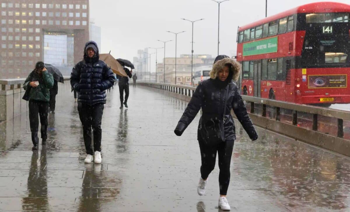
The weather in the UK is notoriously unpredictable, and this weekend is no different. From scattered showers and sleet to sunny spells, the forecast for the next few days is a mixed bag.
Today’s Weather Forecast
A west-north-Westerly wind is forecasted to affect most of the UK, accompanied by scattered showers and periods of sunshine. Southern England will see the most rain in the afternoon, after a sunny start in the east. Some sheltered locations in northeast England may experience fewer showers, with some areas potentially avoiding them altogether.
At lower altitudes, showers will fall mainly as rain or hail, but sleet and snow are possible at higher altitudes, especially in the Scottish Highlands. The temperatures are expected to be slightly below average for late March, with most areas reaching highs of 7 to 9 degrees Celsius, and parts of southern and eastern England reaching around 10 degrees Celsius.
Evening Forecast
Overnight, showers are expected to be restricted to northern coastal areas, especially in the north of Scotland. However, despite generally clear skies and continuing north-westerly winds, temperatures are likely to remain well above freezing, with no more than 3 to 5 degrees Celsius due to continuing windy conditions.
A mix of sunshine and showers this afternoon 🌦️
Some hail, thunder and even hill snow in the north ⛈️❄️
Widely feeling chilly in the brisk wind 🌡️📉 pic.twitter.com/aY5LDWplkq
— Met Office (@metoffice) March 23, 2024
Sunday’s Forecast
The weather across the UK on Sunday will be mostly sunny with only isolated showers affecting northern Scotland, south-eastern Scotland and north-eastern England.
Winds will be lighter, and cloud cover will increase from western regions of Northern Ireland and southwest England during the afternoon and evening ahead of additional rain-bearing weather systems moving into Britain from the west.
Temperatures are expected to return to seasonal norms, with most of England, Northern Ireland, and southern Scotland reaching 10 to 13 degrees Celsius. Cooler conditions are expected in northern Scotland, along with additional snow showers across the Scottish Highlands.
Outlook for Next Week and the Easter Holiday
The UK’s unsettled weather pattern is set to continue next week, with low pressure remaining slow-moving to the southwest of Britain.
- Monday: In northern Scotland and eastern England, a typically dry but increasingly cloudy day. Later in the day, rain will push in from the southwest, transitioning to sleet and snow at lower elevations away from coastal areas as it moves into central parts of Scotland, with accumulations of snow at higher elevations.
- Tuesday: Further rain will spread north across the country. During the Easter weekend, additional bands of rain and showers will move from south to north.
Daytime temperatures will generally be close to seasonal norms and above normal overnight, except northern Scotland where cooler air will often linger, resulting in relatively cool temperatures at times and additional snowfall in higher ground.


