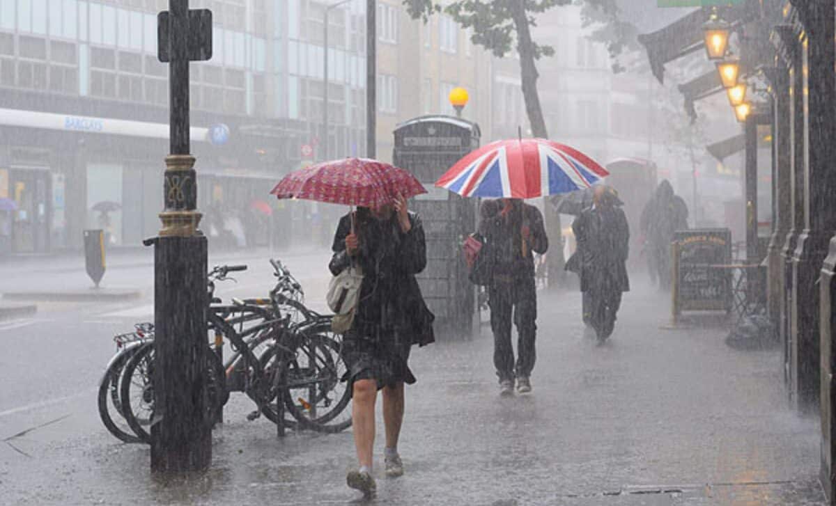
The UK continues to bide its time in the face of severe weather this week. Weather forecasters have warned of heavy rain, snow and strong winds across much of the country. Large parts of the UK are facing prolonged rain and drizzle, increasing the risk of flooding in many areas.
Severe Weather Warnings Issued Across the UK
The start of spring weather was officially marked on 1 March, but the wintry conditions continue. Rather than April downpours, we’re experiencing March flurries. It seems that winter is not yet ready to give way to spring.
The Met Office is forecasting a band of heavy rain to cross the country from the west, bringing torrential downpours. This could lead to flooding in many areas, despite the fact that temperatures are expected to remain above freezing.
Downpours will commence on Monday evening and will persist on Tuesday, with localised flooding possible during this period, according to the Met Office. Conditions will remain unsettled over the next few days, particularly in the north-west.
Inhabitants of these regions are advised to prepare for occasional heavy rainfall, which could cause flooding in low-lying and poorly drained areas. Periods of intermittent drought are likely in the south-east, but heavy showers are expected to return.
It will be a mostly dry, but rather cloudy afternoon ☁️
Patchy rain, mainly in the north and west 🌧️, but the west also seeing the best of any brighter breaks 🌥️ pic.twitter.com/ptGoUMeoSu
— Met Office (@metoffice) March 11, 2024
Flood Warnings Issued Throughout the UK
In anticipation of the heavy rainfall, the Environment Agency has issued 33 flood warnings and 123 flood alerts. These warnings indicate that flooding is expected, and immediate action is required, while the alerts advise residents and emergency responders to be prepared. Since river and stream levels are likely to rise rapidly, roads, properties and farmland are at risk of flooding in warned areas.
In addition to floods, the adverse weather could have further impacts. High winds accompanying weather systems present additional risks, including potential power outages. Forecasters warn that western regions in particular could face gale force winds. This unstable weather is set to continue throughout the week, although the south of England could benefit from some respite thanks to drier, brighter spells.
Snowstorms Forecasted in Northern Regions Later This Week
Northern regions of the UK, including Scotland and parts of northern England, can expect significant snowfall later this week, according to the Met Office and independent forecasters. The models show a weather system moving into the country from the west, bringing moisture and cold air. As these elements interact, precipitation is likely to fall as snow in the colder north. Some forecasts suggest that elevated areas of Scotland and Northern England may experience snow depths of up to 10 cm.
Over the next week to 10 days, temperatures are expected to remain below average for this time of year across the UK. With daytime highs struggling to reach seasonal norms, nighttime lows could fall below freezing, particularly in snow-covered areas. These cooler temperatures, combined with the presence of snow on the ground, increase the risk of ice forming. It is therefore important to take extra precautions to avoid slips and falls.


