Looking behind the weather forecast crystal sphere, there is a promising change on the horizon for next week. While there’s no guarantee that the showers will stop altogether, there are signs that the rainfall will be less than in recent weeks.
At the moment, a low pressure system from the west is responsible for the heavy rainfall, which will hit the south-west in particular on Monday. However, a shift in atmospheric dynamics is expected later in the week, heralding a change in weather patterns across the UK.
Unpredictable Weather Conditions Lead to Winter Threats
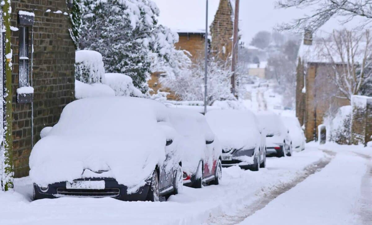
As spring slowly creeps in, some parts of the UK are bracing themselves for unexpected wintry conditions. Recent weather maps have revealed the looming possibility of snowfall to defy the seasonal transition. The Scottish Highlands are expected to bear the brunt of this wintry onslaught on 5, 6 and 16 March.
Additionally, regions such as Edinburgh, Aberdeen, Inverness and even areas further south such as Birmingham, Manchester, Liverpool, Blackpool and London could feel the frosty touch of snowflakes.
However, the snowy spectacle is not expected to last. Forecasters are predicting a swift end to the wintry precipitation, with temperatures in Birmingham, London and parts of Wales set to rise to a comfortable 12°C by 14 March.
Drier Week Ahead
At present, the low-pressure systems moving in from the west are causing heavy rainfall, particularly in the south-west on Monday. However, as the week progresses, a shift in atmospheric dynamics is expected, heralding a change in weather conditions across the UK.
A zone of wet weather continues to edge northeast across the country this evening, but the rain turning more showery.
Drier either side of this zone and becoming chilly under any clear spells.
Windy in places, especially at first, and turning murky where the winds ease down. pic.twitter.com/4RtA7zxQDc
— Met Office (@metoffice) March 4, 2024
Cloudless skies and Persistent Showers Tomorrow
On Tuesday, the contrast between East and West is striking. Clear skies greet the West, offering respite from the deluge of the previous day, while the East is faced with persistent showers. It’s a tale of two voices, the weather disparities giving a vivid picture of the region’s diversity.
Wednesday
By midweek, the central and western regions are covered in a little frost, giving the morning air a note of freshness. However, despite the chill, the sun dominates, casting a golden glow over the landscape. Occasional showers dot the south-west, reminding us of nature’s unpredictability.
Thursday and Friday
Temperatures are set to fluctuate on Thursday and Friday, creating a mosaic of weather conditions across the country. Strong winds sweep across the north-east, bringing cooler temperatures, while milder weather sets in across the south and south-west.
High pressure takes centre stage, orchestrating dry spells in many areas, although pockets of showers persist in the east.
Weekend Outlook
As the weekend approaches, low pressure from the south-west moves in, reintroducing the possibility of showers, particularly in the south-west. However, the northern and eastern regions remain relatively dry, suggesting drier days ahead.


