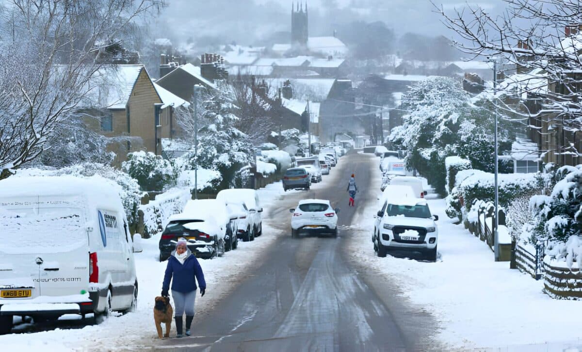
Another blast of icy air is sweeping into the UK, bringing freezing weather and snow with it. The Met Office has reported that a “blocked” weather pattern over Iceland and Greenland is causing frigid air to move down into the British Isles.
Weather forecasters’ maps highlight the places most likely to see significant snowfall over the coming days, with parts of Scotland, England and Northern Ireland in the crosshairs. Some areas could receive up to six inches of snow.
Heavy Snowfall Expected Across Much of the Country
Snow is coming, and lots of it. According to the latest forecasts, heavy snowfall is expected across large parts of the UK over the next few days.
Northern Ireland and Scotland First Up
Snow is expected to hit Northern Ireland and western Scotland on Friday, with up to 6cm forecast in some areas. The rest of the country will experience the snowfall by Saturday as it moves south and east.
The drop in temperature will accompany the snowfall, as high pressure over Greenland and Iceland prevents warmer air from reaching Britain, resulting in a blast of Arctic air instead. The Met Office predicts that temperatures will be slightly below average for early March, so it is advisable to wrap up warm.
Mixed Rainfall For Certain Areas
Although snow is expected in much of the country, some southern and western areas may experience a mixture of rain, sleet, and snow. The far south, including London and the south coast, may avoid snow altogether and instead experience heavy rain. Moving further north, the Midlands up to Manchester are likely to see a few inches of snow on the ground by Sunday.
Unsettled Weather This Week
Tonight’s forecast
Winds are expected to decrease in the southern regions as the evening progresses. This will make for a calmer night. This decrease in wind speed will contribute to a mostly dry evening, with clear spells expected for most areas.
However, it’s important to note the formation of widespread frost, accompanied by patches of mist and fog as the night progresses. These atmospheric conditions can affect visibility and road safety, so caution is advised for travellers.
While the south gets a reprieve from strong winds, the far northwest will welcome rain. Rain clouds will move into these regions during the night, accompanied by increasing winds. This contrast in weather patterns highlights the varying conditions across the country and the need for localised forecasts for effective planning.
Showers continue for parts of central and northern England this evening but die down overnight 🌧️
Winds ease in the south as clear skies develop for much of England and Wales
Here we could start to see some mist and fog forming 🌫️ pic.twitter.com/myvTOVQ62C
— Met Office (@metoffice) February 26, 2024
Outlook for Tuesday
As Tuesday dawns, any lingering fog and mist is expected to dissipate, giving way to clearer skies. Rain from the northwest will gradually move south-east throughout the day, although it will ease as it moves. This transition will bring a mix of sunny spells and heavy showers, creating dynamic weather conditions in different regions.
Looking ahead to Wednesday and Thursday
Wednesday : Incoming rain and a dry start
The weather will be dry across the country at the start of Wednesday, offering a temporary respite from the rain. However, this dry spell will be short-lived, as further rain is forecast from the west.
Thursday : Heavy rain
The weather will change on Thursday, with heavy rain expected, especially in the western regions. These downpours may cause localised flooding and travel disruption, underlining the importance of staying informed with reliable weather updates.


