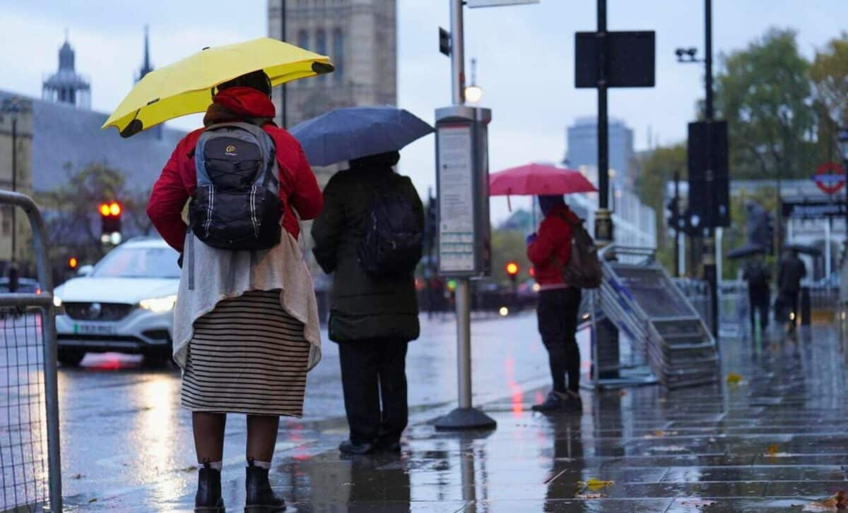
Heavy rain is expected today according to local weather forecasts, and flood warnings have been issued for several southern UK regions. This large area of low pressure has settled over the region and does not appear to be moving away for the time being.
Incoming Low-Pressure System Threatens Heavy Rain in the UK
The Met Office has forecasted heavy rainfall and potential flooding in southern England and south Wales over the next 24 hours due to a low-pressure system moving in. The system is expected to bring rain into the southern regions of the country as it approaches from the Atlantic.
The north is expected to remain dry with some sunny intervals, while the southern counties could receive up to 35 mm of rain. The risk of flooding is a serious concern due to saturated ground from previous weather events.
Current Weather Conditions and Outlook
Currently, the northern parts of Britain are mostly experiencing good weather, with occasional sunny spells. There may be some scattered showers in the north of Scotland, but they should be isolated.
In contrast, rain has already started falling in South Wales and the southwest, and it is expected to spread eastward to Sussex by nightfall. Despite the rain, temperatures will remain typical for late February, ranging from 6 to 10°C.
Further rain is expected in the south-east overnight, while dissipating in the western regions. The coastal counties of eastern England and the northern coasts of Northern Ireland will experience scattered showers due to a cold north-easterly wind. Clear skies will prevail elsewhere, and some frost is likely, with temperatures close to freezing.
On Monday, rain should move away from the south-east, leaving most of Britain dry with some sunshine. However, there may still be strong northerly winds producing gusts, and temperatures will remain cool, reaching 6 to 10°C.
Impacts and Potential Hazards
The Met Office has issued a yellow warning, indicating the potential for difficult travel conditions and minor flooding in some locations, ahead of rain expected across southern Britain over the next day.
Residents are advised to take extra precautions as the combination of heavy rain and saturated ground is expected. Additionally, as the low moves away, strong northerly winds behind the system could lead to dangerous conditions along the coastline.
☔ Southern districts will bear the brunt of the rain through Sunday afternoon, with some heavy pulses at times
🌤️ Brighter skies and sunny spells for those further north pic.twitter.com/g927Dv6usS
— Met Office (@metoffice) February 25, 2024
Areas at Risk for Flooding in Southern England
South West and South Wales
The low-pressure system advancing from the southwest will bring substantial rainfall to the South West and South Wales regions. Due to the already saturated ground, there is a heightened risk of flooding, which could lead to river overflow and surface water disruptions. Residents should prepare for possible evacuations and road closures to ensure safety.
The Midlands and Southeast
As the system moves across northern France, it is expected to bring showers and rain to the Midlands and Southeast. Although less severe than in the South West, flooding is still a concern, especially in low-lying areas and near rivers.
To ensure your safety during hazardous weather events, it is important to continuously monitor forecasts and follow the instructions of local authorities.


