Britain’s icy winter is tightening its grip, with the weather forecast to bring heavy snowfalls and freezing temperatures from 24 February. If you’re in the mood for a bitterly cold spell, get ready to cosy up by the fire!
Snow Blanket Across the UK
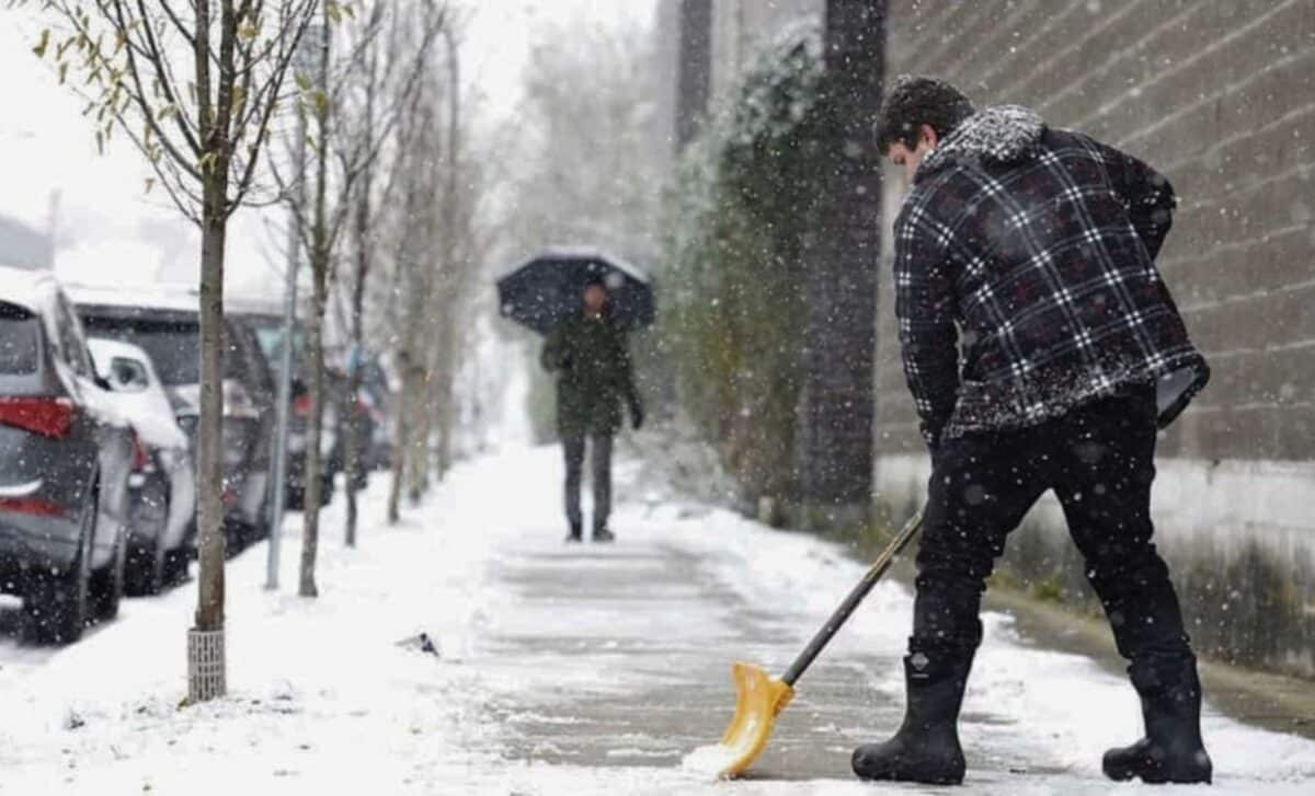
Have your snow boots and shovels ready, because the UK is about to receive up to eight days of snowfall, blanketing the country in its pristine white beauty. The northern regions, including parts of England and Scotland, will be the first to witness this snowy spectacle.
Northern England and Scotland on Snow’s Frontline
Cities such as Newcastle, Middlesbrough and Sunderland, in the north-east of England, are expected to receive between 5 and 10 mm of snow, giving their landscapes a wintry charm. Scotland will not be outdone, either, with much of the country expected to be covered in snow, particularly on Saturday evening.
Sub-zero temperatures descend on the country
As the snowflakes drift through the air, temperatures are set to plummet, sending shivers down our spines. In some parts of Scotland, temperatures could drop as low as -5°C, while Wales and the south of England will not be spared from the cold, with temperatures as low as -4°C and -1°C respectively.
The Weather is Uncertain, But the Snow is Still There
The Met Office is advising caution, as it is still too early to make definitive forecasts, but snow is possible, particularly on the higher ground in northern regions, as is usual at this time of year. Though there may be a temporary respite with milder conditions, the cold snap could return later in February, bringing with it more chances of snowfall.
Weather Forecast Across the UK This Week
The UK is in for a soggy week. An incoming low-pressure air system from the south-west will bring showers to large parts of the country, with torrential rain at times in some regions.
Parts of southern England, Wales and the Midlands can expect persistent rain on Tuesday and Wednesday. The rain may fall heavily for long periods, causing localised flooding in poorly drained areas. If you have outdoor plans, you’ll need to pack your umbrella and maybe even some rain boots.
Wet weather will also arrive in Northern Ireland and the south of Scotland, with rain developing over these regions on Tuesday afternoon and evening. The rain will continue overnight before easing off on Wednesday morning.
Frequently asked questions (FAQ)
- How much snow is expected?
Up to 1 foot of snow is forecast for various parts of the UK, particularly in the northern regions. - Are there any specific areas likely to be heavily affected?
By far, the north of England and Scotland are likely to be most affected by snowfall, with cities such as Newcastle and Sunderland susceptible to significant accumulations. - What about temperatures during this cold snap?
Below zero temperatures are anticipated, with parts of Scotland likely to see temperatures as low as -5 °C, while southern regions could see temperatures between -1 °C and -4 °C. - Will there be any disruption to travel?
Given the snowfall and freezing temperatures forecast, travel disruption is possible. It is therefore advisable to keep abreast of the latest weather forecasts and plan your journeys accordingly. - How long is this winter weather expected to last?
Forecasts indicate up to 8 days of snowfall from 24 February, but weather patterns can change, so it’s essential to stay tuned for updates from reliable sources.

