These days, while large parts of England are still on alert for possible flooding, the Scottish weather continues to be blanketed in snow, creating a picturesque but challenging scenery.
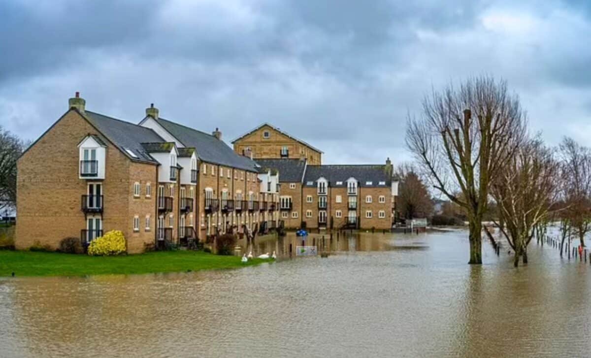
Flood Alert Across The UK
Heavy snowfall continued in Scotland, with the Met Office issuing warnings of up to 10cm by 3pm tomorrow. Meanwhile, in England, the focus has been on flooding, with more than 400 alerts or warnings issued across the UK.
The majority of these alerts were concentrated in England, numbering 68 warnings and 311 alerts, particularly prevalent in the South and Midlands regions. In Wales, 21 alerts were issued, while Scotland faced two alerts and one warning, emphasizing the diverse and dynamic weather patterns affecting different parts of the UK.
The Dominant Weather Systems in the UK
Satellite imagery shows two dominant weather systems sweeping across the UK. These weather fronts, characterised by swirling clouds, bring wet conditions as they move slowly northwards. Such weather systems bring a mixture of conditions. Although they introduce slightly milder air behind them, most of Scotland remains cold, with persistent snow on the higher ground.
Whereas rain dominates over most of the UK, some areas, particularly in the north of Scotland, are still receiving snowfall. But in the central belt and further south, rain is the main precipitation. Clear skies are expected in the Midlands, offering a little sunshine amid the showers.
The temperatures will vary across the country. Southern regions could see temperatures in the high teens, making for a relatively warmer day. By contrast, the north of Scotland remains cold, with gusts of wind adding to the chill.
Overnight weather prospects
As night falls, the north of Scotland will continue to receive snow on hills, with the possibility of icy patches forming. Elsewhere, precipitation will persist over parts of Northern Ireland, Northern England and Southern Scotland.
In the east of England, the rain will ease off, and the weather will remain dry for much of the night. Clearer skies could give rise to patches of mist, with temperatures dropping into the single digits.
Weekend weather forecast
As we look ahead to the weekend, conditions will remain brisk across the UK.
Saturday’s highlights
Saturday will see a mixture of weather conditions. While many areas will be dry and bright, showers are set to develop rapidly over the south-west of England and south Wales.
Looking ahead to Sunday
Low pressure will continue to influence the weather on Sunday, although the air will be milder across the UK. Showers are expected, particularly in western areas, while eastern areas could experience mist and fog in the morning.
Weather FAQ:
- Which regions are affected by the Met Office’s yellow alert?
Northern Scotland, particularly areas with gusty winds, is under yellow alert due to the possibility of blizzards. - What should drivers in the north of Scotland beware of?
Drivers should exercise caution on the higher roads due to dangerous driving conditions caused by snowfall and gusty winds. - What can we expect in terms of temperatures on Saturday?
Double-digit temperatures are expected in many areas, making for a relatively mild day across the UK. - Will rain cover the whole of the UK on Saturday?
No. Showers are expected to be scattered, with dry and bright conditions forecast for many areas.


