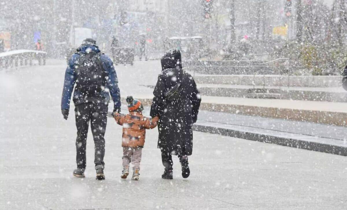
A wintry mix of snow and rain is currently affecting the entire United Kingdom, with weather advisories in place. Elevated regions of England and Wales are expected to receive up to 25 cm of snow, while other areas will experience continuous snow and rainfall. In response to these extreme conditions, all 85 educational institutions in Flintshire have made the decision to suspend operations.
Every single school in UK county will close
An amber weather warning for snow and ice has been issued for most of North Wales, therefore, a decision has been made to close all Flintshire schools on Thursday 8 February 2024. As such, all school transport will not operate tomorrow.
Educational institutions near the Peak District and south Pennines have also been compelled to close.
UK Weather Dynamics: Arctic cold battles Atlantic Warmth
Today’s weather landscape is marked by the clash between cold Arctic air descending southwards across the northern half of the UK and the influx of milder air from the Atlantic moving northwards.
These contrasting air masses colliding result in a range of precipitation types. While the southern regions are mainly affected by rain, the central and northern regions are experiencing a mixture of rain, sleet and snow.
Significant snowfalls have been reported in central and north Wales, as well as in the north of the Midlands, as the boundary between the air masses moves progressively northwards.
The Impact on Different Regions
- Northern half of the UK: Heavy snow and sleet in central and north Wales and the north Midlands.
Snow gradually turning to rain, but a chance of freezing rain on the higher ground in North Wales. - Northern England, Northern Ireland and southern Scotland: Persistent risk of snowfall, particularly from the Peak District northwards. Increased risk of disturbances in higher areas, with variable snow accumulations.
- Lower levels and populated centers: Mixed precipitation, with rain in some places and patchy snow cover in others. Transition to rain with the arrival of milder air from the south.
Thursday Evenings and Fridays Forecast
Thursday evening
- Further heavy rain in the north over the southern half of the UK.
- Showers in the counties of southern England and southern Wales.
- More sleet and snow in the north and east of Scotland.
Friday
- Milder air prevails, with rain showers circulating around a low pressure system.
- Wintry weather persists in the east and north of Scotland.
- Mild temperatures in the southern regions, but wintry conditions persist further north.
To sum up, Thursday brings a mix of precipitation across the UK, with impacts varying according to location and altitude. Make sure you keep up to date with local forecasts and heed any warnings issued for your area to stay safe and prepared.


